Ulongué
| Ulongué | |
|---|---|
 Ulongué | |
| Coordinates: 14°43′S 34°22′E / 14.717°S 34.367°E | |
| Country |
|
| Provinces | Tete Province |
| District | Angonia District |
| Population (2008) | |
| • Total | 25 309 |
| Climate | Cwa |
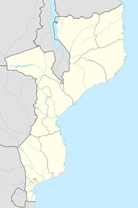
Ulongué is a town and the administrative seat of Angónia District, situated in the north east part of the Tete Province in Mozambique. This town is written as Vila Ulongué in some maps, but the name of this town is Ulongué not Vila Ulongué.
The IMAP (teacher's training college), Escola Secundária de Ulongué (secondary school), numerous primary schools, churches, Mozambique Trading Company, Mozambique Leaf Tobacco, and GPZ all have a presence in the area.
Demographics
| Year | Population[1] |
|---|---|
| 2008 | 25 309 |
| 2012 (estimated) | 27 697.[2] |
References
- ↑ "Mozambique: largest cities and towns and statistics of their population". World Gazetteer. Retrieved 2008-06-18.
- ↑ world-gazetteer.com
This article is issued from
Wikipedia.
The text is licensed under Creative Commons - Attribution - Sharealike.
Additional terms may apply for the media files.