Uhersko, Stryi Raion
| Uhersko Угерсько | |
|---|---|
| village | |
 Uhersko | |
| Coordinates: 49°18′03″N 23°54′31″E / 49.30083°N 23.90861°ECoordinates: 49°18′03″N 23°54′31″E / 49.30083°N 23.90861°E | |
| Country |
|
| Province |
|
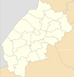
| District |
|
| Established | 1176 |
| Area | |
| • Total | 12,39 km2 (478 sq mi) |
| Elevation/(average value of) | 283 m (928 ft) |
| Population | |
| • Total | 1,683 |
| • Density | 135,84/km2 (35,180/sq mi) |
| Time zone | UTC+2 (EET) |
| • Summer (DST) | UTC+3 (EEST) |
| Postal code | 82424 |
| Area code | +380 3245 |
| Website | село Угерсько (Ukrainian) |
Uhersko (Ukrainian: Уге́рсько), in 1946 — 1993[1] years — Yablunivka (Ukrainian: Яблунівка). The village (selo) is located in Stryi Raion, Lviv Oblast, of Western Ukraine at a distance 65 kilometres (40 mi) from the city of Lviv and 8 kilometres (5.0 mi) from Stryi.
The village is located near the Highway M06 (Ukraine) (![]()
Local government — Uherska village council.[2]
History and Today
The first record for archival documents about the village Uhersko refers to 1176.[3] The document mentions that Uhersko existed in Ancient Russ State. The name of villages has changed from the initial Uhryny on Uhersko, Yablunivka and again Uhersko.
In territory of village there are a number of industrial enterprises — distillery (1911); feed mill (1972); bakery (1967).
References
External links
- village Uhersko
- Угерська сільська рада(in Ukrainian)
| Cities | ||
|---|---|---|
| Urban-type settlements |
| |
| Villages |
| |