Ubaté River
| Ubaté River | |
|---|---|
 Location of the Ubaté River in Colombia | |
| Native name | Río Ubaté |
| Etymology | Muysccubun: "bloodied land" or "sower of the mouth" |
| Country |
|
| Department | Cundinamarca |
| Municipalities | Tausa, Sutatausa, Ubaté, Fúquene |
| Physical characteristics | |
| Main source |
Tausa 3,550 m (11,650 ft)[1] 5°10′24.1″N 73°53′36.5″W / 5.173361°N 73.893472°WCoordinates: 5°10′24.1″N 73°53′36.5″W / 5.173361°N 73.893472°W |
| River mouth |
Lake Fúquene Fúquene 2,543 m (8,343 ft)[2] 5°26′24.2″N 73°44′22.4″W / 5.440056°N 73.739556°W |
| Length | 49 km (30 mi) |
| Basin features | |
| River system | Confluence of El Hato River & La Playa River[1] |
| Basin size | 293 km2 (113 sq mi)[1] |
| Waterbodies | Lake Fúquene |
The Ubaté River is a river on the Altiplano Cundiboyacense, Cundinamarca, Colombia.
Etymology
The name Ubaté comes from the native name "Ebate", in Muysccubun meaning "bloodied land" or "sower of the mouth".[3]
Description
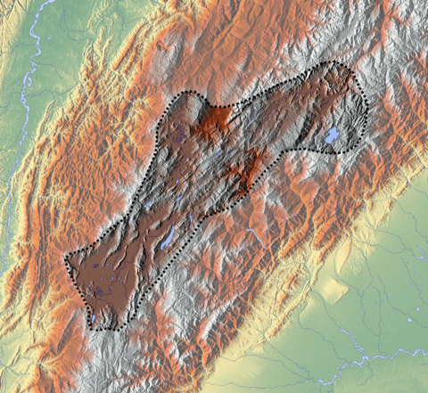
source
mouth
Source and mouth of the Ubaté River on the Altiplano Cundiboyacense
The Ubaté River originates as the confluence of the El Hato and La Playa Rivers. El Hato River originates in the municipality Tausa. The Ubaté River flows northward through the Ubaté-Chiquinquirá Valley and drains into Lake Fúquene, at the border with Boyacá.
See also
References
- 1 2 3 N., N. s.a.. Plan de ordenamiento Fúquene - Cuenca regional Ubaté-Chiquinquirá. N.N.. Accessed 2017-02-28.
- ↑ "GNF - Laguna Fúquene". Retrieved 2012-11-14.
- ↑ (in Spanish) Official website Ubaté
This article is issued from
Wikipedia.
The text is licensed under Creative Commons - Attribution - Sharealike.
Additional terms may apply for the media files.