Tulloch Airfield
| Tulloch Airfield | |||||||||||
|---|---|---|---|---|---|---|---|---|---|---|---|
| Summary | |||||||||||
| Airport type | Private | ||||||||||
| Serves | Bog Walk, Jamaica | ||||||||||
| Elevation AMSL | 300 ft / 91 m | ||||||||||
| Coordinates | 18°06′15″N 76°59′20″W / 18.10417°N 76.98889°WCoordinates: 18°06′15″N 76°59′20″W / 18.10417°N 76.98889°W | ||||||||||
| Map | |||||||||||
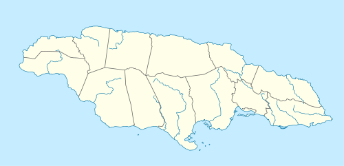 Tulloch Airfield Location of the airport in Jamaica | |||||||||||
| Runways | |||||||||||
| |||||||||||
Tulloch Airfield is an airstrip serving the town of Bog Walk in the Saint Catherine Parish of Jamaica.
There is high terrain south through east of the airstrip.
The Kingston non-directional beacon (Ident: KIN) is located 10.5 nautical miles (19.4 km) southeast of Tulloch Airfield. The Manley VOR/DME (Ident: MLY) is located 15.9 nautical miles (29.4 km) southeast of the runway.[3][4]
See also


- Transport in Jamaica
- List of airports in Jamaica
References
External links
| International | |
|---|---|
| Domestic | |
| Military |
|
This article is issued from
Wikipedia.
The text is licensed under Creative Commons - Attribution - Sharealike.
Additional terms may apply for the media files.