Tsaratanana Reserve
| Tsaratanana Reserve | |
|---|---|
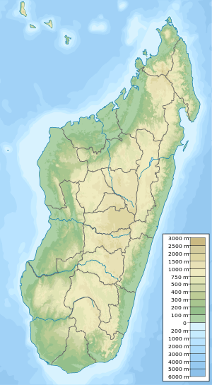 Map of Madagascar | |
| Location | Diana Region, Madagascar |
| Coordinates | 13°57′47″S 48°50′56″E / 13.963°S 48.849°E[1]Coordinates: 13°57′47″S 48°50′56″E / 13.963°S 48.849°E[2] |
Tsaratanana Reserve is a nature reserve of Madagascar.[3] The park is located at a high altitude and is closed to the public.[3] The reserve provides a significant amount of water to the area, and many rivers exist in the area, such as Bemarivo river, Sambirano river and the Ramena or Mahavavy River.[3] The reserve also has two waterfalls and thermal baths.[3]
It includes Maromokotro peak which is the highest mountain of Madagascar at 2,876 m (9,436 ft)[4]
Geographie
It is located 57 km (35 mi) north of Bealanana in the Diana Region.
References
- ↑ "Tsaratanana Strict Nature Reserve". protectedplanet.net.
- ↑ "Tsaratanana Strict Nature Reserve". protectedplanet.net.
- 1 2 3 4 Madagascar National Parks - Tsaratanana Archived 2015-04-21 at the Wayback Machine.
- ↑ wildmadagascar.org - Tsaratanana
| Strict Nature Reserves | 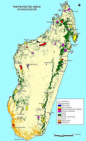 | |
|---|---|---|
| National parks | ||
| Wildlife Reserves | ||
This article is issued from
Wikipedia.
The text is licensed under Creative Commons - Attribution - Sharealike.
Additional terms may apply for the media files.