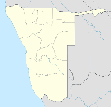
Tsandi
| Tsandi | |
|---|---|
| Village | |
 Tsandi Location in Namibia | |
| Coordinates: 17°45′S 14°53′E / 17.750°S 14.883°E | |
| Country |
|
| Region | Omusati Region |
| Constituency | Tsandi |
| Government | |
| • Type | Village council |
| Time zone | UTC+2 (SAST) |
| [1] | |
Tsandi (Oshiwambo: that which is at the center) is a village in the Omusati Region of northern Namibia and the district capital of the Tsandi electoral constituency. It is situated on the main road MR123 (Outapi - Tsandi - Okahao).
Tsandi is the residential place of the Uukwaluudhi Royal Homestead.[2] It is also the trade center for the whole constituency and one of the oldest villages in the Uukwaluudhi kingdom. Tsandi Lodge is 2.5 kilometres (1.6 mi) out of town in the direction of Outapi.[3]
Tsandi is governed by a village council that has five seats.[4] Omusati Region, to which Tsandi belongs, is a stronghold of Namibia's ruling SWAPO party. For the 2015 local authority election no opposition party nominated a candidate, and SWAPO won all five seats uncontested.[5]
References
- ↑ Tsandi Map — Satellite Images of Tsandi
- ↑ NACOBTA Trust entry for the Uukwaluudhi Royal Homestead Archived 2009-11-15 at the Wayback Machine.
- ↑ Tsandi lodge, last accessed 15 April 2016
- ↑ "Know Your Local Authority". Election Watch (3). Institute for Public Policy Research. 2015. p. 4.
- ↑ "Local elections results". Electoral Commission of Namibia. 28 November 2015. p. 6. Archived from the original on 10 December 2015.
Coordinates: 17°45′S 14°53′E / 17.750°S 14.883°E