Traytown
| Traytown | |
|---|---|
| Town | |
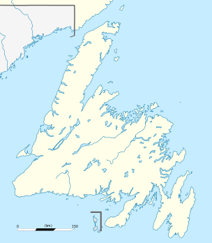 Traytown Location of Traytown in Newfoundland | |
| Coordinates: 48°39′40″N 53°58′42″W / 48.66111°N 53.97833°WCoordinates: 48°39′40″N 53°58′42″W / 48.66111°N 53.97833°W | |
| Country |
|
| Province |
|
| Census division | 7 |
| Area | |
| • Total | 13.46 km2 (5.20 sq mi) |
| Population (2016) | |
| • Total | 267 |
| • Density | 20.1/km2 (52/sq mi) |
| Time zone | UTC-3:30 (Newfoundland Time) |
| • Summer (DST) | UTC-2:30 (Newfoundland Daylight) |
| Area code(s) | 709 |
Traytown is a town in central Newfoundland, Newfoundland and Labrador, Canada. It is in Division No. 7 on Alexander Bay. Residents of Traytown seek services mainly in the town of Glovertown. Traytown does, however, have its own municipal council and businesses which include the Border Lounge, Whop-D-Doo Hair, K&K Ready mix and many others. The community also has an outdoor rink and community playground which is maintained by town council as well as its volunteers. The name Traytown came from a surveyor that visited traytown in the late 19th century. He thought that the landscape resembled a maze and named the town Troytown. This eventually was changed to Traytown over the years.
According to the 2016 Statistics Canada Census:
- Population: 267
- % Change (2011–2016): -5.7
- Dwellings: 149
- Area (km²): 13.31
- Density (persons per km²): 20.1
See also
Places adjacent to Traytown | |
|---|---|
This article is issued from
Wikipedia.
The text is licensed under Creative Commons - Attribution - Sharealike.
Additional terms may apply for the media files.