Towerby
| Towerby | |
|---|---|
 Towerby | |
|
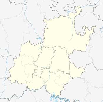
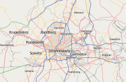
Location within Greater Johannesburg  Towerby  Towerby Towerby (South Africa)  Towerby Towerby (Africa) | |
| Coordinates: 26°15′18″S 28°02′46″E / 26.255°S 28.046°ECoordinates: 26°15′18″S 28°02′46″E / 26.255°S 28.046°E | |
| Country | South Africa |
| Province | Gauteng |
| Municipality | City of Johannesburg |
| Main Place | Johannesburg |
| Established | 1953 |
| Area[1] | |
| • Total | 0.23 km2 (0.09 sq mi) |
| Population (2011)[1] | |
| • Total | 751 |
| • Density | 3,300/km2 (8,500/sq mi) |
| Racial makeup (2011)[1] | |
| • Black African | 51.7% |
| • Coloured | 10.8% |
| • Indian/Asian | 4.7% |
| • White | 28.8% |
| • Other | 4.1% |
| First languages (2011)[1] | |
| • English | 37.2% |
| • Afrikaans | 14.9% |
| • Zulu | 14.9% |
| • Sotho | 5.2% |
| • Other | 27.8% |
| Time zone | UTC+2 (SAST) |
| Postal code (street) | 2190 |
Towerby is a suburb of Johannesburg, South Africa. This small suburb is tucked between Forest Hill and Rosettenville. It is located in Region F of the City of Johannesburg Metropolitan Municipality.
History
Prior to the discovery of gold on the Witwatersrand in 1886, the suburb lay on land on one of the original farms called Turffontein.[2] It became a suburb on 18 March 1953 taking its name from a nearby water tower.[2]
References
This article is issued from
Wikipedia.
The text is licensed under Creative Commons - Attribution - Sharealike.
Additional terms may apply for the media files.