Toratau
| Toratau | |
|---|---|
 | |
| Geography | |
| Location |
Ishimbaysky District, Bashkortostan, Russia |
| Parent range | Southern Ural |
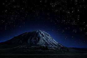
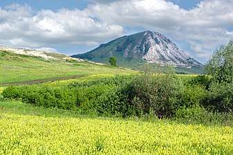
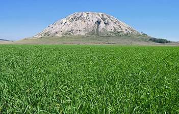
Toratau (Bashkir: Торатау — «fortress mountain») - one of the four shihans, located in Ishimbaysky District, on the border with the city Sterlitamak. The remainder of the reef, the Lower Permian (Late Paleozoic) reef massif, formed over 230 million years ago in the tropical sea.
This is natural monument may be destructed with The Bashkir soda company and Russian authorities.[1][2]
Physiographic characteristic
Length - 1 km, width 850 m, height - above the Belaya River- 220 m, above the soil level - 200 m, the absolute height above the sea level - 338 m.
Has a conical shape. Slopes - 20-30 degrees, but do not form rocky ledges. The lower part is covered with screes. At the base of the northern slope of the mountain there are springs, one with sulphurous water.
At the foot of Yuraktau is located the lake Moksha.
 Shihan Toratau in the colors of the Flag of Bashkortostan
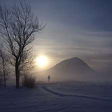 Toratau in winter