Topog Peak
| Topog Peak | |
|---|---|
 | |
| Highest point | |
| Elevation | 5,534 ft (1,687 m) [1] |
| Prominence | 234 ft (71 m) [2] |
| Coordinates | 39°53′12″N 118°39′29″W / 39.886581°N 118.657953°WCoordinates: 39°53′12″N 118°39′29″W / 39.886581°N 118.657953°W [1] |
| Geography | |
 Topog Peak Nevada, U.S. | |
| Location | Churchill County, Nevada, U.S. |
| Parent range | West Humboldt Range |
| Topo map | OCALA |
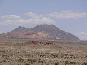
Topog Peak is a mountain in the West Humboldt Range of Churchill County, in Nevada, United States.[2]
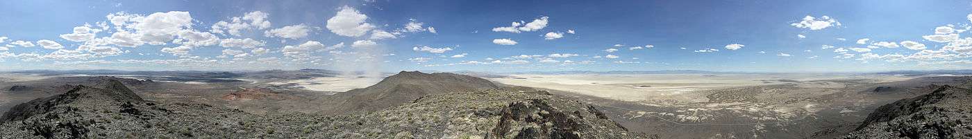
Summit panorama
References
- 1 2 "Topog Peak, Nevada". Peakbagger.com. Retrieved 2015-04-24.
- 1 2 "Topog Peak". Lists of John. Retrieved 2015-04-24.
| Wikimedia Commons has media related to Topog Peak. |
This article is issued from
Wikipedia.
The text is licensed under Creative Commons - Attribution - Sharealike.
Additional terms may apply for the media files.