Toorale State Conservation Area
| Toorale State Conservation Area New South Wales | |
|---|---|
 Toorale State Conservation Area | |
| Nearest town or city | Bourke |
| Coordinates | 30°15′34.3″S 145°18′46.3″E / 30.259528°S 145.312861°ECoordinates: 30°15′34.3″S 145°18′46.3″E / 30.259528°S 145.312861°E |
| Established | November 2010[1][2] |
| Area | 543.85 km2 (210.0 sq mi)[1][2][3] |
| Managing authorities |
|
| Website | Toorale State Conservation Area |
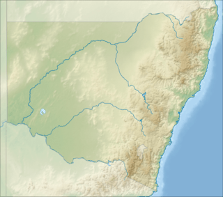
The Toorale State Conservation Area is a 54,385-hectare (134,390-acre) protected conservation area located in the Far West region of New South Wales, approximately 80 kilometres (50 mi) southwest of Bourke.[1][2][3] The park consists of land that was previously part of Toorale Station, and is jointly managed by the NSW National Parks & Wildlife Service and the local indigenous Kurnu-Baakandji people.[1][3][4]
References
- 1 2 3 4 "Toorale National Park and Toorale State Conservation Area: Draft plan of management" (PDF). NSW National Parks & Wildlife Service (PDF). Government of New South Wales. January 2018. ISBN 978-1-76039-999-3. Retrieved 4 October 2018.
- 1 2 3 "Toorale State Conservation Area". NSW National Parks & Wildlife Service. Government of New South Wales. 2018. Retrieved 4 October 2018.
- 1 2 3 "Toorale National Park and Toorale State Conservation Area: Statement of management intent" (PDF). NSW National Parks & Wildlife Service (PDF). Government of New South Wales. June 2014. ISBN 978-1-74359-546-6. Retrieved 4 October 2018.
- ↑ "Toorale National Park and Toorale State Conservation Area: Conservation management plan" (PDF). NSW National Parks & Wildlife Service (PDF). Government of New South Wales. June 2013. Retrieved 4 October 2018.
This article is issued from
Wikipedia.
The text is licensed under Creative Commons - Attribution - Sharealike.
Additional terms may apply for the media files.