Black Fell (Pennines)
| Black Fell | |
|---|---|
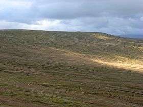 The flank of Black Fell | |
| Highest point | |
| Elevation | 664 m (2,178 ft) |
| Prominence | 89 m (292 ft) |
| Parent peak | Cross Fell |
| Listing | Hewitt, Nuttall |
| Coordinates | 54°47′36″N 2°32′56″W / 54.79324°N 2.54897°WCoordinates: 54°47′36″N 2°32′56″W / 54.79324°N 2.54897°W |
| Geography | |
| Parent range | North Pennines |
| OS grid | NY648444 |
| Topo map | OS Landranger 86 |
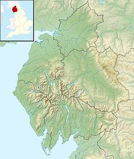
Black Fell is a hill in the North Pennines, England. It is located just north of the A686 road, west of Alston and is one of the most northerly parts of the Pennines.
This article is issued from
Wikipedia.
The text is licensed under Creative Commons - Attribution - Sharealike.
Additional terms may apply for the media files.