Tole Bi, Shu
| Tole bi Төле би | |
|---|---|
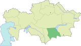
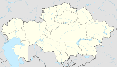 Tole bi Location in Kazakhstan | |
| Coordinates: 43°40′36.51″N 73°45′43.22″E / 43.6768083°N 73.7620056°E | |
| Country | Kazakhstan |
| Region | Jambyl Region |
| Elevation | 610 m (2,000 ft) |
| Population (2009) | |
| • Total | 19 |
| Time zone | UTC+6 |
| Postal code | 080001 - 080019 |
| Area code(s) | +7 726 38 |
| Vehicle registration | H, 08 |
| Website |
www |
Tole Bi (Kazakh: Төле би) before 1992 — Novotroitskoe[1]) — village, the center of Shu District, Jambyl Region, Kazakhstan. The administrative center of the agricultural county Tole Bi. It is located about 7 km north of the city Shu. KATO code — 316630100.[2]
References
Notes
- ↑ About the naming and renaming of individual administrative and territorial units of the Republic of Kazakhstan
- ↑ "Base KATO". Statistics Agency of Republic of Kazakhstan. Archived from the original on 2013-03-10.
Sources
- Е. М. Поспелов (Ye. M. Pospelov). "Имена городов: вчера и сегодня (1917–1992). Топонимический словарь." (City Names: Yesterday and Today (1917–1992). Toponymic Dictionary.) Москва, "Русские словари", 1993.
This article is issued from
Wikipedia.
The text is licensed under Creative Commons - Attribution - Sharealike.
Additional terms may apply for the media files.