Tipalt Burn
| Tipalt Burn | |
 Ford over the Tipalt Burn | |
| Country | United Kingdom |
|---|---|
| County | Northumberland |
| Source | |
| - coordinates | 55°02′48″N 2°26′25″W / 55.046634°N 2.440370°W |
| Mouth | |
| - coordinates | 54°57′44″N 2°28′21″W / 54.9623611°N 2.4723889°WCoordinates: 54°57′44″N 2°28′21″W / 54.9623611°N 2.4723889°W |
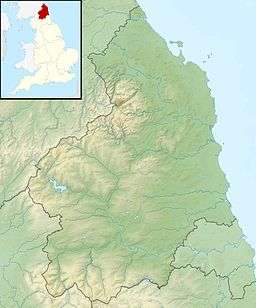 Location within Northumberland | |
Tipalt Burn is a burn which lies to the east of Greenhead, Northumberland. The burn passes several historical sites such as Thirlwall Castle and discharges into the River South Tyne near the village of Haltwhistle.[1] The burn is about 16 km in length and is located close to the north end of the Pennine Way.
See also
References
External links
![]()
This article is issued from
Wikipedia.
The text is licensed under Creative Commons - Attribution - Sharealike.
Additional terms may apply for the media files.