Tigres Island
| Native name: Ilha dos Tigres | |
|---|---|
 Tigres Island | |
| Geography | |
| Location | Atlantic Ocean |
| Coordinates | 16°36′S 11°41′E / 16.600°S 11.683°ECoordinates: 16°36′S 11°41′E / 16.600°S 11.683°E |
| Area | 98 km2 (38 sq mi) |
| Length | 20 km (12 mi) |
| Width | 6 km (3.7 mi) |
| Highest elevation | 30 m (100 ft) |
| Administration | |
|
Angola | |
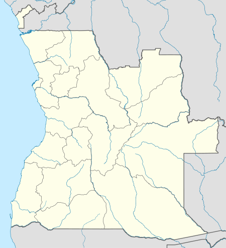
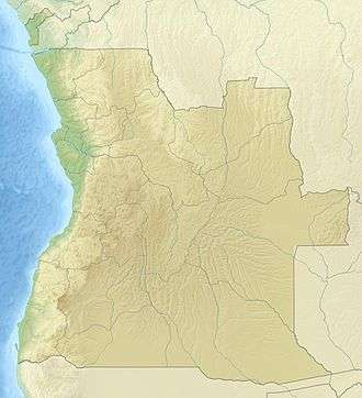
| Province | Namibe Province |
| Demographics | |
| Population | uninhabited |
 Angola | |
| Location |
Ponta da Marca Tigres Island Namibe Province Angola |
|---|---|
| Coordinates | 16°30′59″S 11°42′51″E / 16.516306°S 11.714111°E |
| Year first constructed | ~1930s[1] |
| Foundation | on piles |
| Construction |
masonry tower (current) metal skeletal tower (first) [1] |
| Tower shape |
conical tower (current) square pyramidal skeletal tower with balcony, lantern and enclosed observatory room (first) [1] |
| Markings / pattern | white tower |
| Height | 12.8 metres (42 ft)[2] |
| Focal height | 15 metres (49 ft)[2] |
| Light source | solar power |
| Range | 18 nautical miles (33 km; 21 mi)[2] |
| Characteristic | Fl (3) W 11s. [2] |
| Admiralty number | D5460[2] |
| NGA number | 25724[2] |
| ARLHS number | ANO-012[1] |
| Managing agent | Instituto Marítimo e Portuário de Angola |
Tigres Island (Portuguese: Ilha dos Tigres) is an island in Angola.[3] It is situated in the Namibe Province.
History
It is the largest island of Angola; its area is 98 km². It once had been a small peninsula in Baia dos Tigres known as Península dos Tigres with a well established fishing village named Tigres.
The ocean broke through the isthmus of the peninsula on March 14, 1962 and the water line was severed. Tigres became an island overnight with no water supply. Later Tigres and the pump station at the Cunene river mouth were abandoned, and have become ghost towns slowly being reclaimed by the desert.[4][5]
See also
References
- 1 2 3 4 "Angola". The Lighthouse Directory. University of North Carolina at Chapel Hill. Retrieved 11 May 2017.
- 1 2 3 4 5 6 List of Lights, Pub. 113: The West Coasts of Europe and Africa, the Mediterranean Sea, Black Sea and Azovskoye More (Sea of Azov) (PDF). List of Lights. United States National Geospatial-Intelligence Agency. 2016.
- ↑ "Ilha dos Tigres". Mapcarta. Retrieved 10 October 2016.
- ↑ "Baía dos Tigres". www.redeangola.info. Retrieved 2017-09-27.
- ↑ "Cool Waters". sites.google.com. Retrieved 2017-07-05.
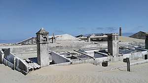
Ruins (2016)
This article is issued from
Wikipedia.
The text is licensed under Creative Commons - Attribution - Sharealike.
Additional terms may apply for the media files.