Tibbi
| Tibbi | |
|---|---|
| town | |
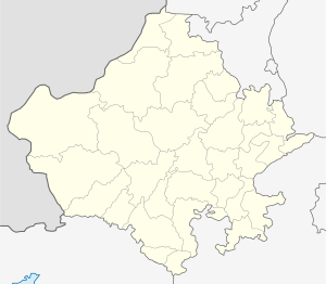
 Tibbi Location in Rajasthan, India  Tibbi Tibbi (India) | |
| Coordinates: 29°17′N 74°23′E / 29.28°N 74.38°ECoordinates: 29°17′N 74°23′E / 29.28°N 74.38°E | |
| Country | India |
| State | Rajasthan |
| District | Hanumangarh |
| Government | |
| • Body | tibbi |
| Population | |
| • Total | 15,000 |
| Languages | |
| • Official | Hindi, Bagri, Rajasthani, Punjabi |
| Time zone | UTC+5:30 (IST) |
| PIN | 335526 |
| Telephone code | 01539 |
| ISO 3166 code | RJ-IN |
| Vehicle registration | 17 KM. |
| Nearest city | Hanumangarh |
| Sex ratio | 900/1000 ♂/♀ |
| Literacy | 80%% |
| Lok Sabha constituency | sriganganagar |
| Vidhan Sabha constituency | sangaria |
| Civic agency | tibbi |
| Climate | hot n cool (Köppen) |
Tibbi is one of the seven tehsil headquarters of Hanumangarh district of Rajasthan state in India. It is at the junction of Haryana, Punjab, and Rajasthan states.[1]
Geography
It is also called the "Rice Belt of Rajasthan". Indira Gandhi Canal enters Rajasthan, from Punjab, at Masitawali & Talwara Jheel Head village of Tibbi. The Ghaghar river (paleochannel of sacred Sarasvati River), which originates at Adi Badri, Haryana in Sivalik Hills in Haryana, also enter in Tibbi from Haryana, and it flows to Pakistan via Anupgarh and Ganganagar.
Demography
As per 2011 census, Tibi tehsil had a population of 165,217, of which 86,128 were males and 79,089 were females across 31,401 families with the Average Sex Ratio of 918 female per 1000 male. 0% people live in Urban areas and 100% live in the Rural areas. The average literacy rate is 63.3% overall, 63.41% male and 45.41% female.[2]
Administration
The first elected Sarpanch of Tibbi village, under the Panchayati Raj System after Independence, was Thakur Kesari Singh Gahlot/Sisodiya. His son, Rajendra Singh Gahlot/Sisodiya, was also elected to the same post in the succeeding years.
References
- ↑ Tibbi tehsil info
- ↑ Demographics of Tibi in Hanumangarh of Rajasthan, Census of India.
External links