The Downs, Bristol
| The Downs | |
|---|---|
.jpg) This tower on the Downs conceals a ventilation shaft for the railway tunnel below | |
| Type | public open space |
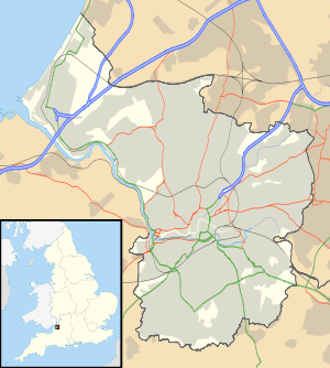
| Location | Bristol, England |
| Coordinates | 51°28′N 2°38′W / 51.47°N 2.63°WCoordinates: 51°28′N 2°38′W / 51.47°N 2.63°W |
| Area | 441 acres (1.78 km2) |
| Status | open all year |
The Downs are an area of public open limestone downland in Bristol, England. They consist of Durdham Down to the northeast, and the generally more picturesque and visited Clifton Down to the southwest.
Durdham Down
Durdham Down is the part of the Downs northeast of Stoke Road, extending to Westbury Park and Henleaze. It is owned by Bristol City Council for the benefit of the people of Bristol.
Clifton Down
Clifton Down is the part of the Downs southwest of Stoke Road, between Sneyd Park and Clifton and extending to the edge of the Avon Gorge. It is owned by the Society of Merchant Venturers.
Management
Since an Act of Parliament in 1861, when Bristol Corporation acquired Durdham Down, the Downs have been managed as a single unit by the Downs Committee, a joint committee of the corporation and the Merchant Venturers.[1]
They are used for leisure, walking, team sports and sightseeing (especially at the Avon Gorge cliff edge). There are permanent football pitches, used by the Bristol Downs Football League, the lowest tier any club has ever joined in order to be promoted to the Premier League. There are also temporary attractions on the Downs, such as circuses and the annual Bristol Flower Show.
A grey concrete water tower of 1954 stands on the Downs near the top of Blackboy Hill, with a long, low, covered reservoir alongside it.
In 1982, 6,000 people assembled on the Downs, in response of to a local newspaper advertisement placed by the makers of the new breakfast television show TV-am. The 6,000 people were used to make the words 'Good', 'Morning' and 'Britain', used for the opening titles of the TV-am show, of the same name. It took 2 hours to get the people into place, and another 2 hours to shoot.
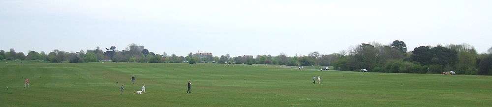
Gallery
.jpg) The Observatory on Clifton Down gives a dramatic view of the Avon Gorge
The Observatory on Clifton Down gives a dramatic view of the Avon Gorge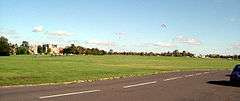 Kites on the Downs in early autumn
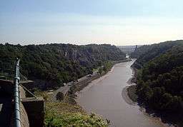 The Avon Gorge from the Downs
References
| Wikimedia Commons has media related to The Downs. |