Thayet Township
| Thayet Township သရက်မြို့နယ် | |
|---|---|
| Township | |
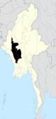
 Thayet Township Location in Burma | |
| Coordinates: 19°19′N 95°05′E / 19.317°N 95.083°ECoordinates: 19°19′N 95°05′E / 19.317°N 95.083°E | |
| Country |
|
| Region | Magway |
| District | Thayet |
| Capital | Thayetmyo |
| Time zone | UTC+6.30 (MST) |
Thayet Township (Burmese: သရက်မြို့နယ်) is a township of Thayet District in the Magway Region of Burma (Myanmar). It lies on the west side of the Irrawaddy. The major town and administrative center is Thayet. Notable peaks are Mount Myinba (1688 ft.) and Mount Myinmagyi (1032 ft.).[1]
Bounds
Thayet Township is bordered[2] by the following townships:
- Minhla to the north,
- Sinbaungwe to the northeast,
- Aunglan (Myayde) to the east and southeast,
- Kamma to the southwest, and
- Mindon to the west.
Villages
Among the many villages and wards (village census tracts) in Thayet Township are Banbyin,[3] Kobin,[4] Kyaukaing,[5] Pyaye,[6] Ta La Bar,[7] Talabasan,[8] Ton,[9] and Yebyu.[10]
Notes
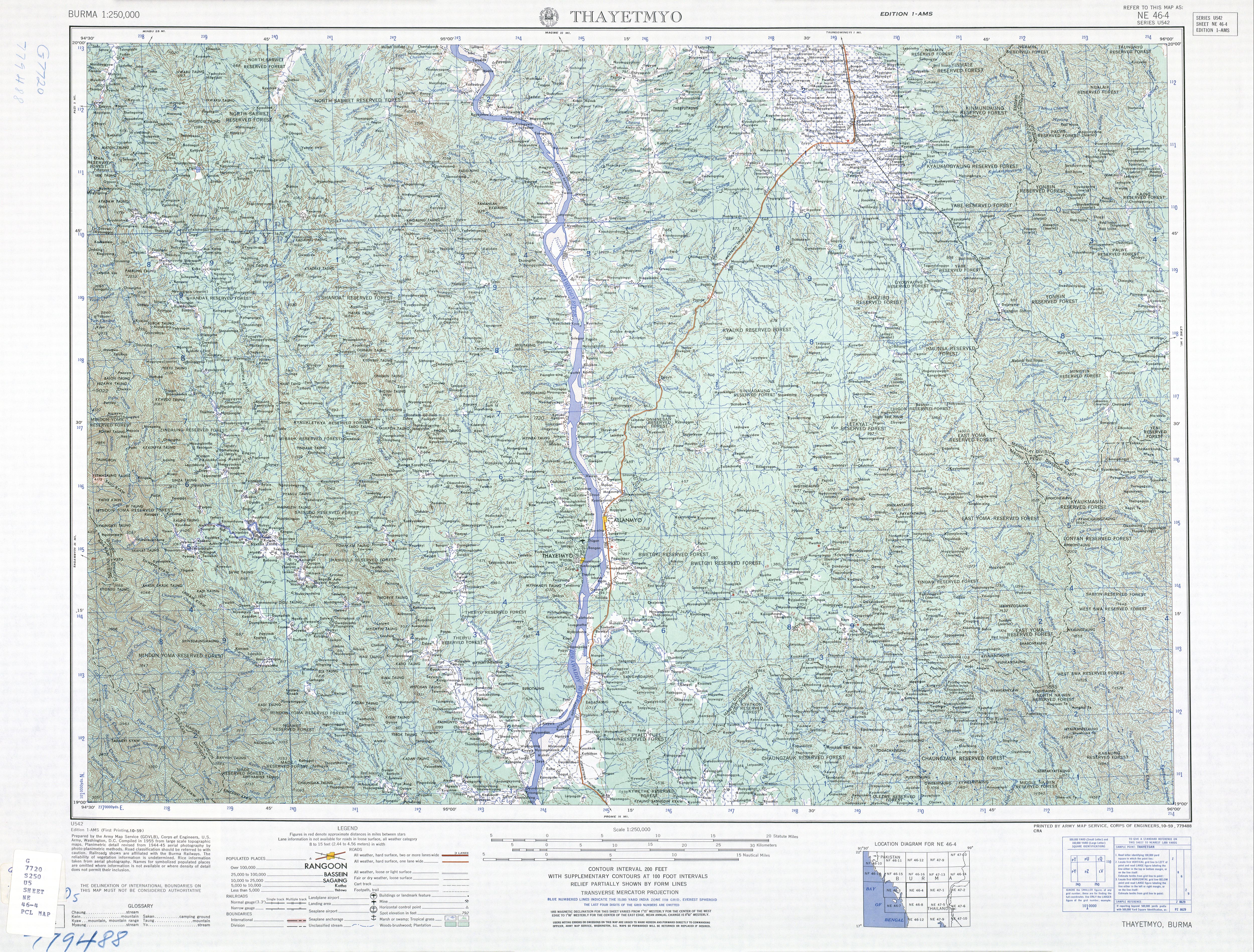
- ↑ topographic map, 1:250,000 Burma 1:250,000 topographic map, Series U542, Thayetmyo NE 46-4, United States Army Map Service, October 1959
- ↑ "Myanmar States/Divisions & Townships Overview Map" Myanmar Information Management Unit (MIMU)
- ↑ "Banbyin Map — Satellite Images of Banbyin" Maplandia
- ↑ "Kobin Map — Satellite Images of Kobin" Maplandia
- ↑ "Kyaukaing Map — Satellite Images of Kyaukaing" Maplandia
- ↑ "Pyaye Map — Satellite Images of Pyaye" Maplandia
- ↑ "Health Facilities In Myanmar" Archived 22 July 2011 at the Wayback Machine. Myanmar Information Management Unit (MIMU)
- ↑ "Talabasan Map — Satellite Images of Talabasan" Maplandia
- ↑ "Ton Map — Satellite Images of Ton" Maplandia
- ↑ "Yebyu Map — Satellite Images of Yebyu" Maplandia
External links
- "Thayet Google Satellite Map" Maplandia
Capital: | |
|
Capital: Magway | ||
| Gangaw District |
|   |
| Magway District | ||
| Minbu District | ||
| Pakokku District | ||
| Thayet District |
| |
| Main cities and towns | ||
This article is issued from
Wikipedia.
The text is licensed under Creative Commons - Attribution - Sharealike.
Additional terms may apply for the media files.