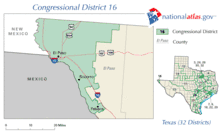
Texas's 16th congressional district
| Texas's 16th congressional district | |
|---|---|
.tif.png) Texas's 16th congressional district - since January 3, 2013. | |
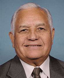
| Current Representative | Beto O'Rourke (D–El Paso) |
| Distribution |
|
| Population (2016) | 742,384[2] |
| Median income | $44,045 |
| Ethnicity |
|
| Cook PVI | D+17[3] |
Texas District 16 of the United States House of Representatives is a Congressional district that serves El Paso and the surrounding area in the state of Texas. The current Representative from District 16 is Beto O'Rourke.
At one time, the 16th stretched across 42,000 square miles (110,000 km2), from El Paso in the west to the Permian Basin (Midland and Odessa) in the east. However, after Texas' original 1960 district map was thrown out as a result of Wesberry v. Sanders, the 16th was shrunk down to the city of El Paso and most of its surrounding suburban communities.
List of representatives
| Representative | Party | Years | Electoral history |
|---|---|---|---|
| District created | March 4, 1903 | ||
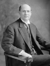 |
Democratic | March 4, 1903 – March 3, 1917 |
[Data unknown/missing.] |
 |
Democratic | March 4, 1917 – March 3, 1919 |
Redistricted to the 17th district |
 |
Democratic | March 4, 1919 – March 3, 1931 |
[Data unknown/missing.] |
 |
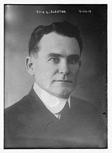
Democratic | March 4, 1931 – July 31, 1947 |
Resigned to become U.S. District Judge |
| Vacant | July 31, 1947 – August 23, 1947 | ||
 |
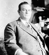
Democratic | August 23, 1947 – January 3, 1955 |
Lost renomination |
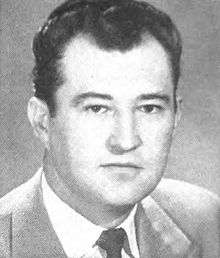 |
Democratic | January 3, 1955 – January 3, 1963 |
Lost re-election |
 |
Republican | January 3, 1963 – January 3, 1965 |
Lost re-election |
 |
Democratic | January 3, 1965 – January 3, 1983 |
Retired |
 |
Democratic | January 3, 1983 – January 3, 1997 |
Retired |
 |
Democratic | January 3, 1997 – January 3, 2013 |
Lost renomination |
 |
Democratic | January 3, 2013 – Present |
Incumbent |
Historical district boundaries
See also
References
- ↑ https://www.census.gov/geo/maps-data/data/cd_state.html
- ↑ https://www.census.gov/mycd/?st=48&cd=16
- ↑ "Partisan Voting Index – Districts of the 115th Congress" (PDF). The Cook Political Report. April 7, 2017. Retrieved April 7, 2017.
- Martis, Kenneth C. (1989). The Historical Atlas of Political Parties in the United States Congress. New York: Macmillan Publishing Company.
- Martis, Kenneth C. (1982). The Historical Atlas of United States Congressional Districts. New York: Macmillan Publishing Company.
- Congressional Biographical Directory of the United States 1774–present
Coordinates: 31°54′39″N 106°18′38″W / 31.91083°N 106.31056°W
This article is issued from
Wikipedia.
The text is licensed under Creative Commons - Attribution - Sharealike.
Additional terms may apply for the media files.