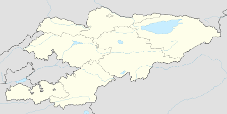
Terek, Kara-Kulja
| Terek | |
|---|---|
 Terek | |
| Coordinates: 40°21′36″N 74°12′00″E / 40.36000°N 74.20000°ECoordinates: 40°21′36″N 74°12′00″E / 40.36000°N 74.20000°E | |
| Country | Kyrgyzstan |
| Region | Osh Region |
| District | Kara-Kulja District |
| Elevation | 2,179 m (7,149 ft) |
| Population (2009) | |
| • Total | 1,300 |
| Time zone | UTC +5 |
Terek is a village in Osh Region of Kyrgyzstan. Its population was 1,300 in 2009.[1]
Geography
It is located to the east of the Alai Mountains and west of the Tian Shan mountain range and lies at an altitude of 2179m (7,149ft).
The town of Kyzyl-Jar is 5 miles (8 km) to the south, and Oytal is 6 miles (9 km) to the east.
References
- ↑ "2009 population census of the Kyrgyz Republic: Osh Region" (PDF). Archived from the original (PDF) on 10 August 2011. Retrieved 2011-08-10.
This article is issued from
Wikipedia.
The text is licensed under Creative Commons - Attribution - Sharealike.
Additional terms may apply for the media files.