Teniente Coronel Carmelo Peralta Airport
| Teniente Coronel Carmelo Peralta Airport Concepción Airport | |||||||||||
|---|---|---|---|---|---|---|---|---|---|---|---|
| Summary | |||||||||||
| Airport type | Public | ||||||||||
| Serves | Concepción | ||||||||||
| Elevation AMSL | 249 ft / 76 m | ||||||||||
| Coordinates | 23°26′30″S 57°25′40″W / 23.44167°S 57.42778°WCoordinates: 23°26′30″S 57°25′40″W / 23.44167°S 57.42778°W | ||||||||||
| Map | |||||||||||
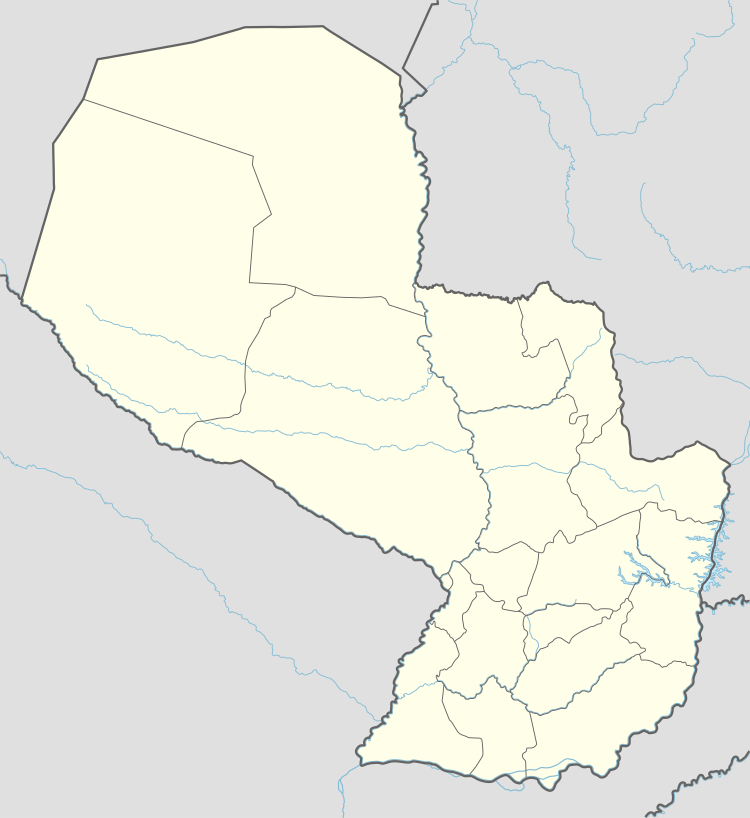 CIO Location of the airport in Paraguay | |||||||||||
| Runways | |||||||||||
| |||||||||||
Teniente Coronel Carmelo Peralta Airport (IATA: CIO, ICAO: SGCO) is an airport serving the city of Concepción in Concepción Department, Paraguay.
The Concepcion non-directional beacon (ident: CON) is located on the field.
See also


- List of airports in Paraguay
- Transport in Paraguay
References
- ↑ Airport information for CIO at Great Circle Mapper.
- ↑ Google Maps - Concepción
External links
- HERE Maps - Concepción
- OpenStreetMaps - Concepción
- OurAirports - Concepción
- Concepción
- Skyvector Aeronautical Charts - Concepción
This article is issued from
Wikipedia.
The text is licensed under Creative Commons - Attribution - Sharealike.
Additional terms may apply for the media files.