Tembagapura
| Tembagapura | |
|---|---|
| District | |
 The town of Tembagapura. The building on the extreme left is a Freeport engineering office, the buildings in the middle and on the right are accommodation blocks. | |
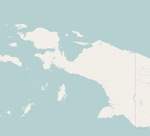 Tembagapura Location in Western New Guinea and Indonesia  Tembagapura Tembagapura (Indonesia) | |
| Coordinates: 4°8′34″S 137°5′26″E / 4.14278°S 137.09056°ECoordinates: 4°8′34″S 137°5′26″E / 4.14278°S 137.09056°E | |
| Country | Indonesia |
| Province | Papua |
| Regency | Mimika Regency |
| Area | |
| • Total | 2,586.86 km2 (998.79 sq mi) |
| Elevation | 1,900 m (6,200 ft) |
| Population | |
| • Total | 18,802 (2,016 est.)[1] |
| Time zone | UTC+9 (IEST) |
| Area code | (+62) 901 |
Tembagapura is a district in Mimika, part of the Indonesian province of Papua, centered on an urban village built to support the Grasberg Mine. The population is 10,662 as of the 2010 census.
The central town was established as a company town by Freeport-McMoran in the late 1960s.
Geography
It is situated on a rocky plain at the base of the Mount Zaagkam 1,930 metres (6,330 ft), 10 miles (16 km) southeast of the mine.[2] The town is in the Sudirman Range, not far from Mount Carstensz, the highest peak in Oceania. The area gets about 6 metres (20 ft) of rainfall each year. The weather is usually sunny in the morning, changing to cloudy and cool around noon.
Etymology
In Indonesian, tembaga means "copper" and pura is equivalent to "temple" or "town", meaning "Copper Town".
History
Construction of the mine and its infrastructure including the town, commenced in the late-1960s. Prior to this, the surrounding area had been inhabited by about 500 members of the Amung people living in traditional villages. However, as the settlement and the mine grew, migrants from other parts of Papua (e.g. the Dani people) and outside the island moved in, causing social tensions between the new arrivals and the locals. Popular unrest attributed to the Free Papua Movement and acts of violence against mining facilities occurred, resulting in relocations and reprisals by the Indonesian Army.[3]
In 1981, Tembagapura was reported to house over 3,000 mine workers and their dependents.[2] In 1994, biologist Tim Flannery visited the town and reported it to have a population of more than 10,000 people, with most of the amenities of a smaller urban community in the U.S. It had sports facilities, a club with a bar and restaurant, supermarkets and specialty shops, a bank, and excellent accommodations for workers and visitors. He observed that this was quite different from other locations in what was then called Irian Jaya.[4]
Tembagapura has a school for English-speaking expatriate children that was called "the world's most remote international school." The town has a hospital, a community library, a full-sized outdoor soccer field, indoor tennis and squash courts and a state-of-the art gymnasium. The Lupa Lelah Club, a focal point for expatriates, includes a restaurant, a bar, and various function rooms. Shopping facilities included a coffee shop, Hero Supermarket (a well known Indonesian retail chain), Guardian Pharmacy, Hero Department Store, and a hairdresser.
Demographics
Tribal groups living near Tembagapura include the Ekari, Moni, Amungme and Dani people, who regard the land of the town and mine as belonging to their tribal lands, and not to the country of Indonesia. They barely understand the concept of a sovereign country, and they do not regard themselves as subject to its laws. Consequently, there is tension between the tribal peoples, the country, and to a lesser extent the mining company. A strong security force, provided by the Indonesian Army, works to keep that tension in check.[4]
References
- ↑ "Kabupaten Mimika dalam Angka 2017" (PDF). Statistics Indonesia. Retrieved 2 December 2017.
- 1 2 Wilson, Forbes (1981). The Conquest of Copper Mountain. New York: Atheneum. ISBN 0-689-11153-3.
- ↑ Miedema, Jelle (1998). Perspectives on the Bird's Head of Irian, Jaya, Indonesia: Proceedings of the Conference, Leiden, 13-17 October 1997. Rodopi. ISBN 9042006447. Retrieved 2 December 2017.
- 1 2 Flannery, Tim (1998). Throwim Way Leg. New York: Atlantic Monthly Press. pp. 266–267. ISBN 0-87113-731-3.