Tarzali
| Tarzali Queensland | |||||||||||||||
|---|---|---|---|---|---|---|---|---|---|---|---|---|---|---|---|
 Tarzali | |||||||||||||||
| Coordinates | 17°25′31″S 145°36′13″E / 17.4252°S 145.6036°ECoordinates: 17°25′31″S 145°36′13″E / 17.4252°S 145.6036°E | ||||||||||||||
| Postcode(s) | 4885 | ||||||||||||||
| Area | 81.5 km2 (31.5 sq mi) | ||||||||||||||
| LGA(s) | Tablelands Region | ||||||||||||||
| State electorate(s) | Hill | ||||||||||||||
| Federal Division(s) | Kennedy | ||||||||||||||
| |||||||||||||||
Tarzali is a town and a locality in the Tablelands Region, Queensland, Australia.[1][2]
History
The town takes its name from the railway station and is an Aboriginal word meaning water gum, a species of Eucalyptus. The railway station was in use from 1915 to 1964.[1]
References
- 1 2 "Tarzali - town in Tablelands Region (entry 33421)". Queensland Place Names. Queensland Government. Retrieved 31 December 2017.
- ↑ "Tarzali - locality in Tablelands Region (entry 48891)". Queensland Place Names. Queensland Government. Retrieved 31 December 2017.
External links
- "Tarzali". Queensland Places. Centre for the Government of Queensland, University of Queensland.
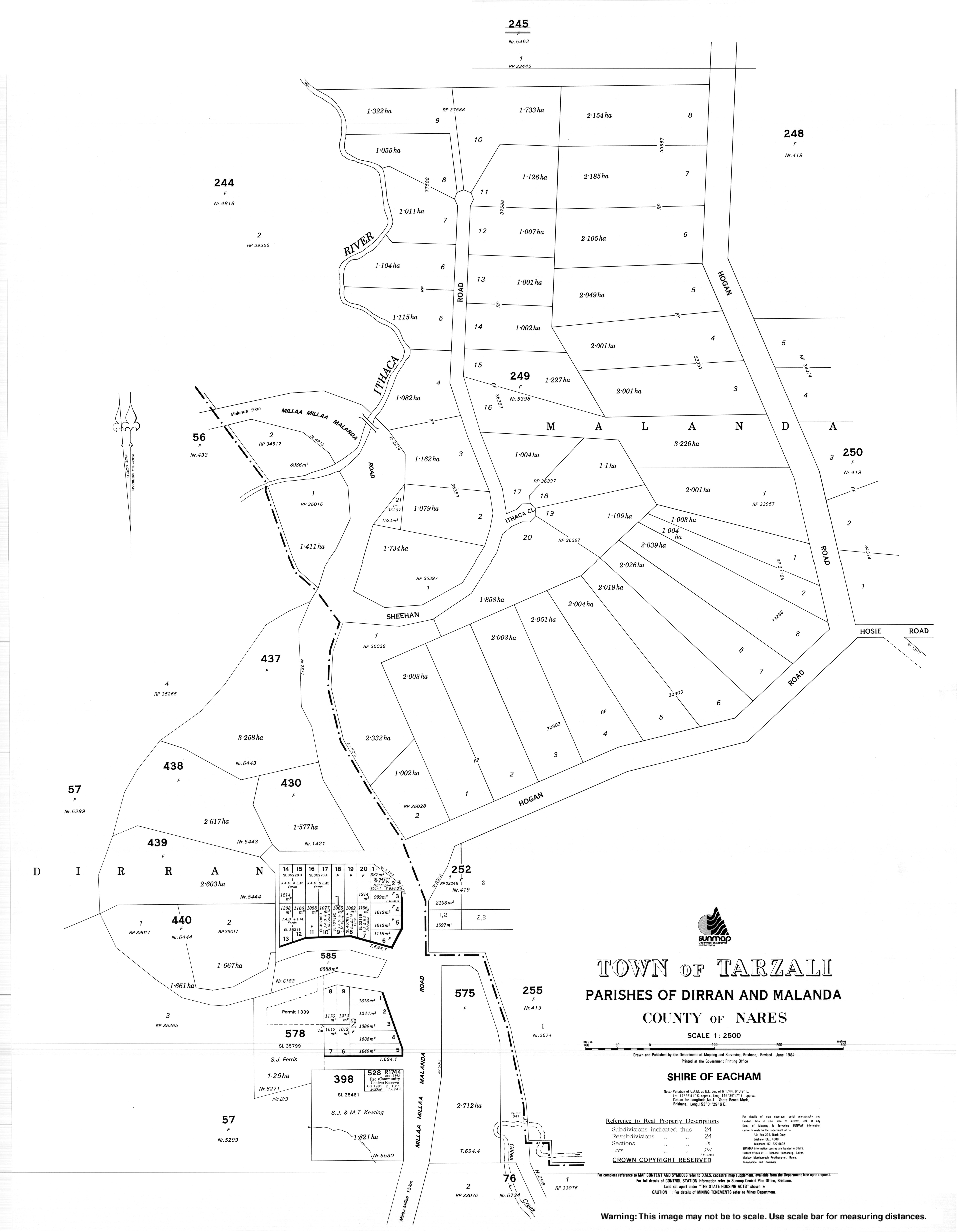
- Town map of Tarzali, 1984
This article is issued from
Wikipedia.
The text is licensed under Creative Commons - Attribution - Sharealike.
Additional terms may apply for the media files.