Talikota
| Talikota Talikote | |
|---|---|
| city | |
| Nickname(s): Talikoti | |
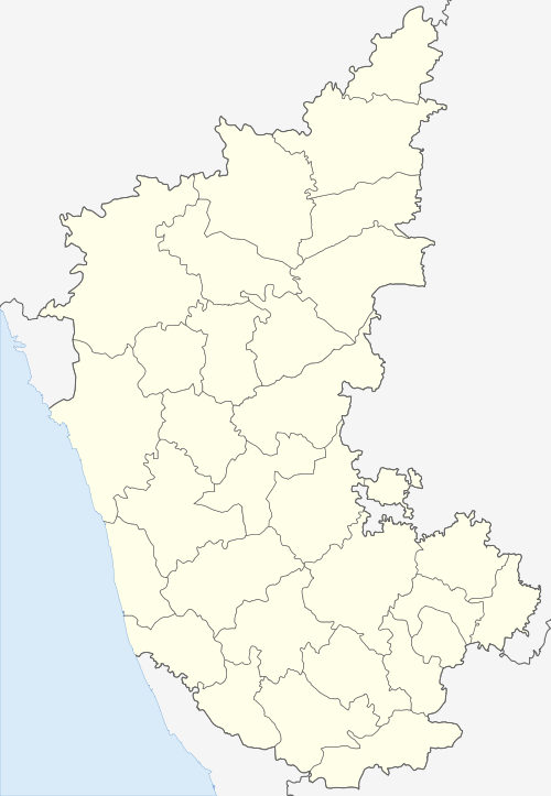
 Talikota Location in Karnataka, India | |
| Coordinates: 16°28′34″N 76°18′39″E / 16.47611°N 76.31083°ECoordinates: 16°28′34″N 76°18′39″E / 16.47611°N 76.31083°E | |
| Country |
|
| State | Karnataka |
| District | Bijapur |
| Government | |
| • Leader | Maaz |
| Elevation | 509 m (1,670 ft) |
| Population (2011)[1] | |
| • Total | 31,693 |
| Languages | |
| • Official | Kannada |
| Time zone | UTC+5:30 (IST) |
| Vehicle registration | KA - 28 |
| Website | www.talikotetown.gov.in |
Talikota also Talikote is a town with a Town Municipal Council, in Bijapur district in the northern part of the Indian state of Karnataka.[2][3] It lies on the left (north) bank of the Doni River and is about 85 kilometers to the southeast of Bijapur city. The Battle of Talikota was fought here on 23rd January,1565 and the town is also home to the Khasgateswer temple which attracts the devotees from Bijapur, Bagalkot, Yadgiri, Raichur and Gulbarga districts. The town also hosts many educational institutes
Geography
Talikota is on an upland plateau in the Western Ghats at an average elevation of 509 metres (1669 feet).
Demographics
At the 2001 census, Talikota had a population of 26,205. Males constituted 56% of the population and females 44%. Talikoti had an average literacy rate of 72%, higher than the national average of 59.5%: male literacy was 81%, and female literacy was 62%. In 2001 in Talikoti, 22% of the population was under 6 years of age.[4]
At the 2011 census, Talikota had a population of 68,217. Postal code of Talikota is 586214
References
| Wikivoyage has a travel guide for Talikota. |
- ↑ http://www.censusindia.gov.in/pca/SearchDetails.aspx?Id=644154
- ↑ Tālīkota (Approved) at GEOnet Names Server, United States National Geospatial-Intelligence Agency
- ↑ "2001 Census of India: Alphabetical list of towns and their population: Karnataka" (PDF). Registrar General & Census Commissioner, India. Archived (PDF) from the original on 24 November 2007.
- ↑ "Census of India 2001: Data from the 2001 Census, including cities, villages and towns (Provisional)". Census Commission of India. Archived from the original on 2004-06-16. Retrieved 2008-11-01.