Takutu Formation
| Takutu Formation Stratigraphic range: Late Jurassic | |
|---|---|
| Type | Geological formation |
| Unit of | Rewa Group |
| Lithology | |
| Primary | Sandstone |
| Location | |
| Coordinates | 3°00′N 59°42′W / 3.0°N 59.7°WCoordinates: 3°00′N 59°42′W / 3.0°N 59.7°W |
| Approximate paleocoordinates | 3°12′N 27°24′W / 3.2°N 27.4°W |
| Region | Upper Takutu-Upper Essequibo |
| Country |
|
| Extent | Guyana Shield |
| Type section | |
| Named for | Takutu River |
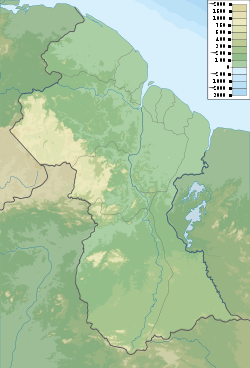 Outcrop of the formation in Guyana | |
The Takutu Formation is a Late Jurassic geologic formation in Guyana and northern Brazil. The formation comprises sandstones deposited in a shallow water to littoral setting.[1] Fossil theropod tracks have been reported from the formation.[2] A paleobotanic analysis of drill cores of the formation was conducted by Thomas van der Hammen in 1966 and showed fossil Classiopolis flora.[1]
See also
References
Bibliography
- Berrangé, J.P. 1977. The geology of Southern Guyana, South America. Institute of Geological Sciences Overseas Memoir 4. 1–112. Accessed 2018-09-07.
- Weishampel, David B.; Dodson, Peter; and Osmólska, Halszka (eds.): The Dinosauria, 2nd, Berkeley: University of California Press. 861 pp. ISBN 0-520-24209-2
Further reading
- R. B. McConnell, D. M. Smith, and J. P. Berrangé. 1969. Geological and geophysical evidence for a rift valley in the Guiana Shield. Geologie en Mijnbouw 48(2):189-199
This article is issued from
Wikipedia.
The text is licensed under Creative Commons - Attribution - Sharealike.
Additional terms may apply for the media files.