Taitou, Shandong
| Taitou 台头镇 | |
|---|---|
| Town | |
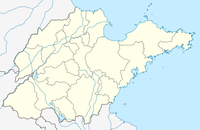 Taitou Location in Shandong | |
| Coordinates: 37°01′48″N 118°38′10″E / 37.03000°N 118.63611°ECoordinates: 37°01′48″N 118°38′10″E / 37.03000°N 118.63611°E | |
| Country | China |
| Province | Shandong |
| Prefecture-level city | Weifang |
| County-level city | Shouguang |
| Area[1] | |
| • Total | 142 km2 (55 sq mi) |
| Elevation | 4.3 m (14 ft) |
| Population (2006)[1] | |
| • Total | 58,000 |
| • Density | 410/km2 (1,100/sq mi) |
| Time zone | UTC+8 (China Standard) |
Taitou (simplified Chinese: 台头镇; traditional Chinese: 台頭鎮; pinyin: Táitóu Zhèn) is a town of around 58,000 people in the north of Shandong province, People's Republic of China. Located in the northwest of Weifang City, it is under the administration of the county-level city of Shouguang City, 23 kilometres (14 mi) to the southeast, and has an area of 142 square kilometres (55 sq mi). Within the town are 42 administrative villages.
In 1958, Taitou was created as a people's commune, then changed to a town in 1984. In 2000 it absorbed the town of Niutou (牛头镇).
Taitou was the site of Martin C. Yang's ethnography A Chinese Village: Taitou, Shantung Province (1945).
References
- 1 2 台头镇 (in Chinese). XZQH.org. Archived from the original on 2011-08-30. Retrieved 2011-06-26.
Further reading
- Yang, Martin C. (2013). A Chinese Village. Volume 1 of International library of sociology. Sociology of East Asia (reprint ed.). Routledge. ISBN 1136233970. Retrieved 24 April 2014.
This article is issued from
Wikipedia.
The text is licensed under Creative Commons - Attribution - Sharealike.
Additional terms may apply for the media files.