Tacotalpa
| Tacotalpa | |
|---|---|
| Municipal seat | |
 Interior of the Iglesia de la Virgen de la Asunción, completed in 1710, it is the oldest church in the State of Tabasco | |
|
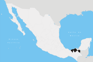
Tacotalpa Location in Mexico | |
| Coordinates: 17°35′35″N 92°49′33″W / 17.59306°N 92.82583°WCoordinates: 17°35′35″N 92°49′33″W / 17.59306°N 92.82583°W | |
| Country |
|
| State | Tabasco |
| Municipality | Tacotalpa |
| Elevation | 900 m (3,000 ft) |
| Population (2010) | |
| • Total | 8,071 |
| Time zone | UTC-6 (Central Standard Time) |
| • Summer (DST) | UTC-5 (Central Daylight Time) |
Tacotalpa is a small town in the southern Mexican state of Tabasco, the seat of the municipality of the same name. The city is located about 100 miles south of the coast of the Gulf of Mexico, and about 50 kilometers from the state capital Villahermosa, near the border with the state of Chiapas. Tacotalpa is located near the Usumacinta River. In 2010, the population of the town consisted of 8,071 inhabitants.
References
Villahermosa (capital) | ||
| Municipalities and (municipal seats) |
|  |
This article is issued from
Wikipedia.
The text is licensed under Creative Commons - Attribution - Sharealike.
Additional terms may apply for the media files.