Taburete
| Taburete | |
|---|---|
 Taburete volcano seen from the southwest | |
| Highest point | |
| Elevation | 1,172 m (3,845 ft) |
| Coordinates | 13°26′06″N 88°31′55″W / 13.435°N 88.532°WCoordinates: 13°26′06″N 88°31′55″W / 13.435°N 88.532°W |
| Geography | |
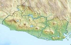 Taburete Location in El Salvador | |
| Location | Usulután Department, El Salvador |
| Geology | |
| Mountain type | Stratovolcano |
| Last eruption | Unknown |
Taburete is a stratovolcano in central El Salvador, rising above the coastal plain between the San Vicente and San Miguel volcanoes, and just west of Usulután volcano. It is topped by a well-preserved, 150–300 m (490–980 ft) deep summit crater, with the true summit on the south side of the crater rim.
See also
References
This article is issued from
Wikipedia.
The text is licensed under Creative Commons - Attribution - Sharealike.
Additional terms may apply for the media files.