Sylvania Airport
| Sylvania Airport | |||||||||||||||
|---|---|---|---|---|---|---|---|---|---|---|---|---|---|---|---|
| Summary | |||||||||||||||
| Airport type | Public | ||||||||||||||
| Serves | Sturtevant, Wisconsin | ||||||||||||||
| Elevation AMSL | 788 ft / 240 m | ||||||||||||||
| Coordinates | 42°42′11″N 087°57′32″W / 42.70306°N 87.95889°WCoordinates: 42°42′11″N 087°57′32″W / 42.70306°N 87.95889°W | ||||||||||||||
| Map | |||||||||||||||
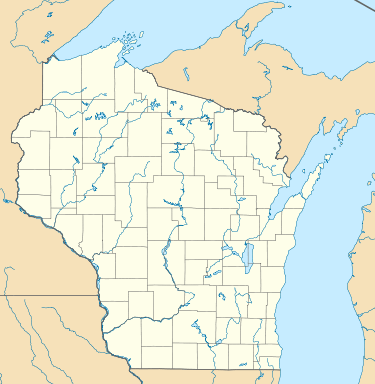
 C89 Location of airport in Wisconsin  C89 C89 (the US) | |||||||||||||||
| Runways | |||||||||||||||
| |||||||||||||||
| Statistics | |||||||||||||||
| |||||||||||||||
Sylvania Airport, (FAA LID: C89) is a privately owned public use airport located 3 miles (5 km) west of the central business district of Sturtevant, Wisconsin, a community in Racine County, Wisconsin, United States.[1]
Although most airports in the United States use the same three-letter location identifier for the FAA and International Air Transport Association (IATA), this airport is assigned C89 by the FAA but has no designation from the IATA.[2]
Skydive Midwest is based at the airport.[3]
Facilities and aircraft
Sylvania Airport covers an area of 34 acres (13 ha) at an elevation of 788 feet (240 m) above mean sea level. It has two runways: 8R/26L is 2,272 by 38 feet (693 x 12 m) with an asphalt surface and 8L/26R is 2,343 by 120 feet (714 x 37 m) with a turf surface.[1]
For the 12-month period ending September 22, 2016, the airport had 23,000 aircraft operations, an average of 63 per day; all general aviation. In December 2017, there were 47 aircraft based at this airport: 43 single-engine, 3 multi-engine and 1 ultra-light.[1]
See also
References
- 1 2 3 4 FAA Airport Master Record for C89 (Form 5010 PDF). Federal Aviation Administration. effective December 7, 2017.
- ↑ "Chicago's Skydive Midwest's new facility". www.skydivemidwest.com. Retrieved 10 December 2016.
External links
- Resources for this airport:
- FAA airport information for C89
- AirNav airport information for C89
- FlightAware airport information and live flight tracker
- SkyVector aeronautical chart for C89