Sydney Harbour (Nova Scotia)
| Sydney Harbour | |
|---|---|
 Sydney Harbour Sydney Harbour in Nova Scotia | |
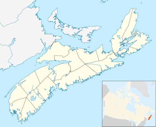
| Location | Cape Breton Island, Nova Scotia |
| Coordinates | 46°13′12″N 60°12′20″W / 46.22000°N 60.20556°WCoordinates: 46°13′12″N 60°12′20″W / 46.22000°N 60.20556°W |
| Type | Bay |
| Part of | Spanish Bay |
| River sources | Sydney River |
| Ocean/sea sources | Gulf of Saint Lawrence, Atlantic ocean |
| Basin countries | Canada |
| Settlements |
Cape Breton Regional Municipality From west to east: |
| Website | www.sydneyport.ca |
| References | Geographical Names of Canada - Sydney Harbour |
Sydney Harbour[1] is the 10-mile long Y-shaped inlet of the Atlantic, oriented southwest-northeast on the northeast shore of Cape Breton Island, Nova Scotia, Canada. At its upper reaches, the harbour forks to form 2 arms, the Northwest Arm and the South Arm. The South Arm is fed upstream by the Sydney River.
Sydney harbour is the maritime hub for the Cape Breton Regional Municipality. The South Arm affords year-round ice-free deep-water anchorage for large ships, including cruise ships.[2]
The Harbour underwent major dredging in 2011, clearing the channel to 17-meter depth and making it accessible to large container ships.[3][4] Five port facilities currently operate on the shores of Sydney Harbour: the International Coal Pier, Nova Scotia Lands, Sydney Marine Terminal, Sydport Industrial Park (Edwardsville) and Marine Atlantic (North Sydney). The sixth, the new container terminal, NOVAPORTE™ Mega-Terminal, is being planned for Edwardsville.[5][6]
References
- ↑ "Geographical Names of Canada - Sydney Harbour". Retrieved 5 June 2018.
- ↑ "Cruise". Retrieved 5 June 2018.
- ↑ "Dredging commences..."
- ↑ "Sydney harbour dredge complete", Cape Breton Post, Sydney, NS, Jan 19, 2012
- ↑ NOVAPORTE™
- ↑ King, Nancy (February 13, 2018), "Proposed Sydney container terminal still moving forward", Cape Breton Post, Sydney, NS
- Notes
- Nautical chart #4266 SYDNEY HARBOUR, published by Canadian Hydrographic Service, 28 February 2014