Swin (Thames)
| Swin | |
|---|---|
 Thames sailing barge, with typical red-brown sails, in the East Swin. | |
 Swin | |
| Coordinates | 51°39′N 01°10′E / 51.650°N 1.167°ECoordinates: 51°39′N 01°10′E / 51.650°N 1.167°E |
| Part of | Thames Estuary |
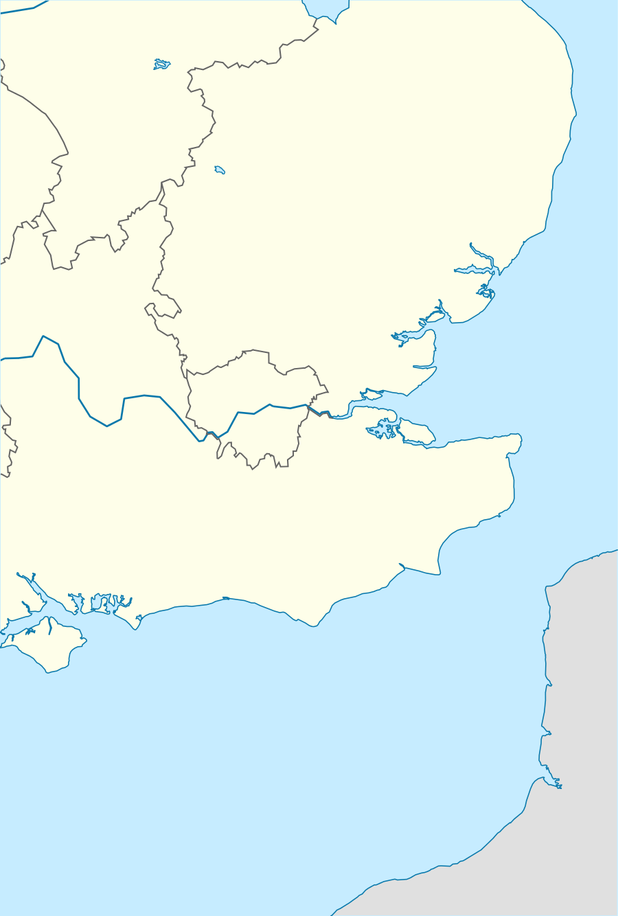
The Swin is a passage in the Thames estuary between Maplin Sands, Foulness Sand and Gunfleet Sand to the north and the Barrow and Sunk sand ridges to the south. The Swin was used used by barges and leisure craft from the Essex rivers, and coasters and colliers from the north east.
In 1874 R.M. Ballantyne wrote:
The channel ... was the Swin, which, though not used by first-class ships, is perhaps the most frequented by the greater portion of the coasting and colliery vessels, and all the east country craft. The traffic is so great as to be almost continuous; innumerable vessels being seen in fine weather passing to and fro as far as the eye can reach.[1]
The channel is formed of a series of deep water passages through sandbanks. Approaching from the northeast craft enter the East Swin between NE Gunfleet and Sunk Head Tower buoys. This part is also known as the King's Channel centred on 51°45′N 1°25′E / 51.750°N 1.417°E.[2] From here there is a choice of the Middle Deep or continuing with the East Swin centred on 51°41′N 01°11′E / 51.683°N 1.183°E.[3] Craft may also pass down the parallel Wallet channel and cross into the East Swin at the Spitway.[4] Halfway along this part, at the Maplin Approach buoy, deeper draught vessels need to pass through to the Middle Deep centred on 51°39′N 01°10′E / 51.650°N 1.167°E.[3] Shallower draught craft, such as the traditional Thames sailing barges, may continue on down the East Swin and cross the Middle Sands directly into the West Swin at Maplin Edge. Both the Middle Deep and the East Swin lead to the West Swin centred on 51°33′N 01°01′E / 51.550°N 1.017°E.[3] The southeastern end of the West Swin joins the main Thames channels.
Etymology
The swin derives from the Old English "swin": a creek a channel. It was published as the Swyn in 1365, the same word 'zwin' occurs in Dutch.[5]
References
- ↑ Eade.
- ↑ Imray chart folio 2000, chart 2000.1.
- 1 2 3 Admiralty chart 1183-0.
- ↑ Trippitt.
- ↑ Ekwall 1960, p. 457.
Citations and further reading
- "England - East coast: Thames Estuary", Admiralty charts, UK Hydrographic Office (UKHO), 1183-0, 2012
- Eade, John, "Estuary - Where Thames smooth waters glide", thames.me.uk, retrieved 28 June 2018
- Ekwall, Eilert (1960), The concise Oxford dictionary of English place-names (4 ed.), Oxford: Clarendon Press, ISBN 0198691033
- 2000 - Suffolk and Essex coasts chart atlas, St Ives: Imray, Laurie, Norie & Wilson Ltd, March 2018
- Jones, Henry Lewis; Lockwood, Charles Barrett (14 February 2015), Swin, Swale, and Swatchway: or, Cruises down the Thames, the Medway and the Essex rivers, Scholar's Choice, ISBN 978-1296019112, retrieved 28 June 2018
- Norie, J.W. (1817), Sailing directions for the river Thames, from London, to the Nore and Sheerness, and thence to Rochester, in the river Medway; also from the Nore, through the Swin and King's channel, to Harwich, Hollesley bay, Orfordness, & Yarmouth: and through the Queen's, South and Prince's channels, to Margate, Ramsgate, the Downs, and Dover. To which are added, tables of the new rates of pilotage. Intended to accompany a new chart of the entrances to the river Thames, drawn by J.W. Norie, p. 10, retrieved 28 June 2018
- Trippitt, Mike, "Thames path", sailingtoday.co.uk, retrieved 28 June 2018