Sverdrup Island (Greenland)
 Sverdrup Island | |
| Geography | |
|---|---|
| Location | Lincoln Sea |
| Coordinates | 82°57′N 45°45′W / 82.950°N 45.750°WCoordinates: 82°57′N 45°45′W / 82.950°N 45.750°W |
| Area | 405 km2 (156 sq mi) |
| Administration | |
| Zone | Northeast Greenland National Park |
| Demographics | |
| Population | 0 |
Sverdrup Island (Danish: Sverdrup Ø) is an island in the far north of Greenland, in the Northeast Greenland National Park area. It is named after Otto Sverdrup
Geography
Sverdrup Island is located off the mouth of J.P. Koch Fjord in the Lincoln Sea, to the east of Elison Island and John Murray Island. The island has an area of 404.8 km ² and a shoreline of 126.3 kilometres.[1]
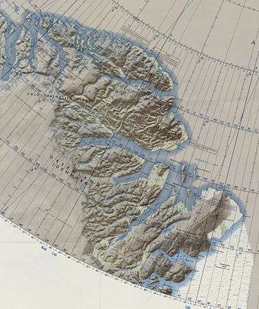 Map of Northeastern Greenland. |
See also
References
This article is issued from
Wikipedia.
The text is licensed under Creative Commons - Attribution - Sharealike.
Additional terms may apply for the media files.