Suez Governorate
| Suez Governorate | ||
|---|---|---|
| Governorate | ||
| ||
.svg.png) Suez Governorate on the map of Egypt | ||
| Country |
| |
| Seat | Suez (capital) | |
| Government | ||
| • Governor | Abdul-Majid Ahmed Abdul-Majeed Saqr [1] | |
| Area | ||
| • Total | 17,840 km2 (6,890 sq mi) | |
| Population (January 2018) | ||
| • Total | 738,000[2] | |
| Time zone | UTC+2 (EET) | |

Suez Governorate (Egyptian Arabic: محافظة السويس Muḥāfẓet El Suweis) is one of the governorates of Egypt. It is located in the north-eastern part of the country and is coterminous with the city of Suez. It is situated north of the Gulf of Suez.
Population
According to population estimates from 2015 all 622,859 residents of the governorate live in urban areas. With an urbanization rate of 100% the Suez Governorate is one of the most urbanized in the country, along with Cairo and Port Said.[3]
Industrial zones
According to the Egyptian Governing Authority for Investment and Free Zones (GAFI), in affiliation with the Ministry of Investment (MOI), the following industrial zones are located in this governorate:[4]
- The industrial zone for light industries
- North Ataka heavy industrial zone
- West ataka heavy industrial zone
- (New urban community industrial zones) Ataka and its expansions
- (New urban community industrial zones) South of the Sumed - Petrochemicals
Ports
There are five ports in the Suez Governorate; namely El-Sokhna port, Tewfiq port, Adabeya port, petrol basin port, and El-Atka fishing port.
Natural resources
Natural resources in the Suez Governorate include limestone, clay, coal, petroleum, marble, and lime.
Exports
The chief exports of Suez are papayas.
Tourist attractions
- Ein El-Sokhna, a well known recreational and medical destination.
- Moses' springs
- Judaic Hill at El-Khoor
Public Free Zone
In 1975, the Suez Public Free Zone was established. It is divided between two main locations: Port Tewfik and Adabeya.
See also
References
- ↑ "رسمياً.. المحافظون الجدد ونوابهم يؤدون اليمين الدستورية أمام الرئيس". Almasry Alyoum (in Arabic). 30 August 2018.
- ↑ "الجهاز المركزي للتعبئة العامة والإحصاء". www.capmas.gov.eg. Retrieved 10 October 2018.
- ↑ "Egypt in Figures 2015" (PDF). CAPMAS. Retrieved 23 October 2016.
- ↑ "Investment Regimes, Industrial Zones of Governorate". Ministry of Investment Egypt. Archived from the original on 30 October 2016. Retrieved 30 October 2016.
External links
- عدد سكـــــــــــان المحافظات الآن Arabic
- Official website
- Ministry of Trade and Industry Free Zones site
| Urban | ||
|---|---|---|
| Lower Egypt | ||
| Upper Egypt | ||
| Frontier | ||
| Authorities | 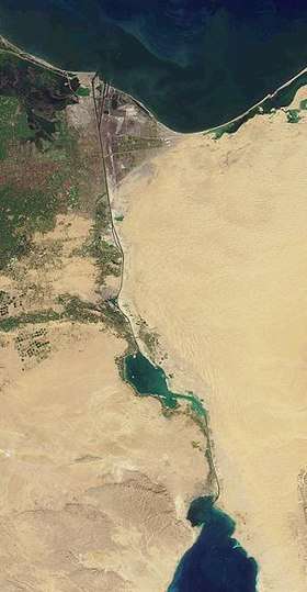 | ||||||
|---|---|---|---|---|---|---|---|
| Cities and ports | |||||||
| Infrastructure |
| ||||||
| Marine life | |||||||
| History |
| ||||||
| |||||||
Coordinates: 29°59′N 32°33′E / 29.983°N 32.550°E