Suakin Archipelago National Park
| Suakin Archipelago National Park | |
|---|---|
|
IUCN category II (national park) | |
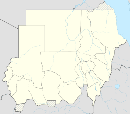 The Suakin Archipelago National Park shown within Sudan | |
| Location | Red Sea, Sudan |
| Nearest city | Suakin |
| Coordinates | 18°44′19″N 38°29′17″E / 18.738606°N 38.488169°ECoordinates: 18°44′19″N 38°29′17″E / 18.738606°N 38.488169°E |
| Area | 1,500 square kilometres (580 sq mi) |
| World Heritage site | link |
The Suakin Archipelago is a large group of islets found in Sudan in the Red Sea, which has been proposed for IUCN category II, national park. This site covers an area of about 1,500 square kilometres (580 sq mi).[1]
References
- ↑ "Suakin Archipelago National Park". ProtectedPlanet (World Database on Protected Areas).
This article is issued from
Wikipedia.
The text is licensed under Creative Commons - Attribution - Sharealike.
Additional terms may apply for the media files.