Strömsnäsbruk
| Strömsnäsbruk | |
|---|---|
 Strömsnäsbruk 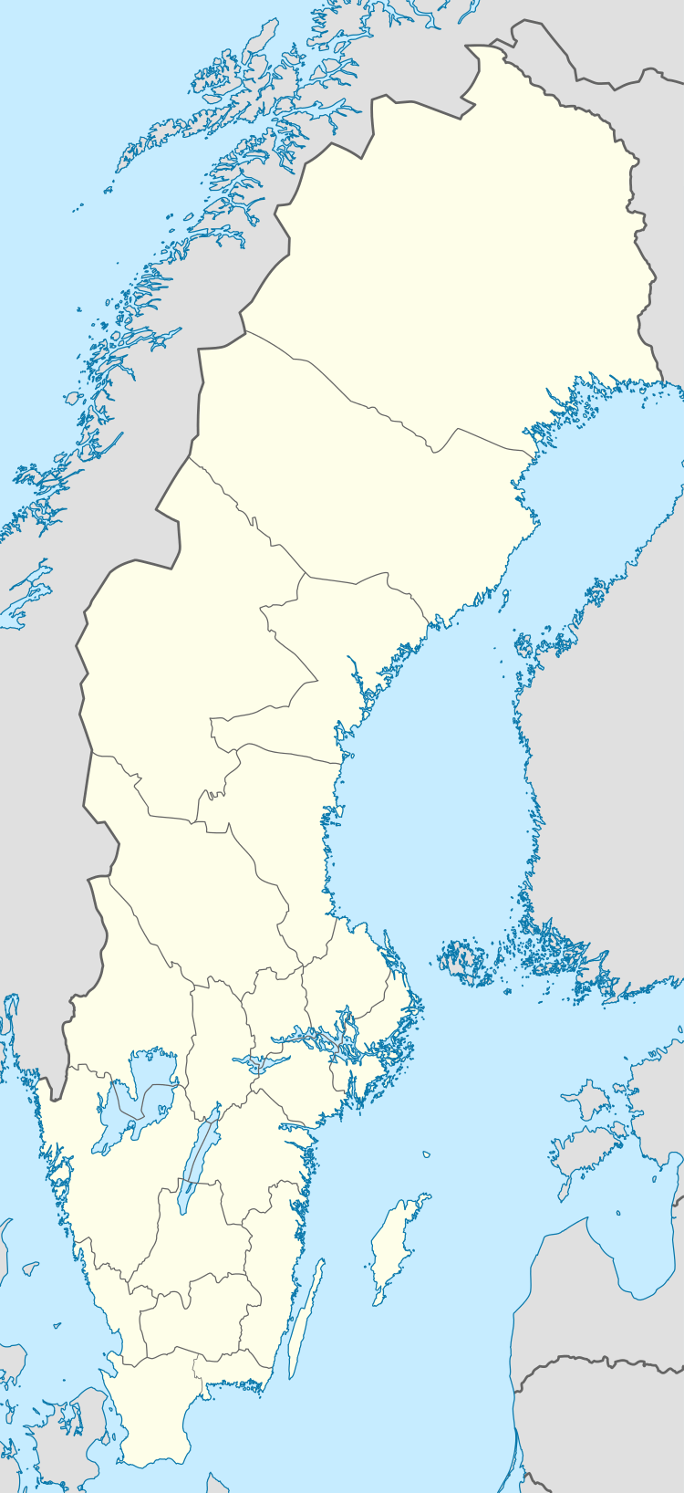 Strömsnäsbruk | |
| Coordinates: 56°33′N 13°43′E / 56.550°N 13.717°ECoordinates: 56°33′N 13°43′E / 56.550°N 13.717°E | |
| Country | Sweden |
| Province | Småland |
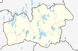
| County | Kronoberg County |
| Municipality | Markaryd Municipality |
| Area[1] | |
| • Total | 3.33 km2 (1.29 sq mi) |
| Population (31 December 2010)[1] | |
| • Total | 2,066 |
| • Density | 621/km2 (1,610/sq mi) |
| Time zone | UTC+1 (CET) |
| • Summer (DST) | UTC+2 (CEST) |
Strömsnäsbruk is the second largest locality situated in Markaryd Municipality, Kronoberg County, Sweden with 2,066 inhabitants in 2010.[1]
The settlement grew up after the opening of Skåne-Smålands Järnväg (railway) in 1887. A paper mill, Strömsnäs Bruk, was erected and was the main industry in Strömsnäsbruk until it was closed down in the 1970s. Strömsnäsbruk had a maximum population of 2,500 in the 1960s.
References
- 1 2 3 "Tätorternas landareal, folkmängd och invånare per km2 2005 och 2010" (in Swedish). Statistics Sweden. 14 December 2011. Archived from the original on 10 January 2012. Retrieved 10 January 2012.
External links
This article is issued from
Wikipedia.
The text is licensed under Creative Commons - Attribution - Sharealike.
Additional terms may apply for the media files.