Stour Valley Path
- This article is about the Stour Valley Path in Suffolk. For the Stour Valley Way in Dorset, see Stour Valley Way. For the Stour Valley Walk in Kent, see Stour Valley Walk.
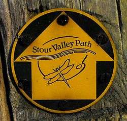
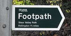
The Stour Valley Path is a 96-kilometre (60 mi) long-distance footpath in Suffolk, England, from Newmarket (52°14′27″N 0°23′51″E / 52.2407°N 0.3976°E) to Cattawade (51°57′25″N 1°03′23″E / 51.9570°N 1.0563°E), a village near Manningtree.[1]
The path follows the catchment area of the River Stour. The majority of the route forms part of European Path E2. It connects with the Icknield Way Path, the Stour and Orwell Walk and the Essex Way.[1]
References
- 1 2 "Stour Valley Path (East Anglia)". Ramblers Association. Retrieved 2008-11-30.
This article is issued from
Wikipedia.
The text is licensed under Creative Commons - Attribution - Sharealike.
Additional terms may apply for the media files.