Stottesdon
| Stottesdon | |
|---|---|
 Stottesdon | |
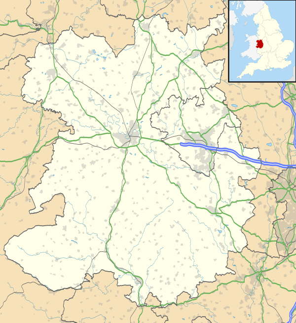 Stottesdon Stottesdon shown within Shropshire | |
| Population | 782 (2011)[1] |
| OS grid reference | SO671827 |
| Civil parish |
|
| Unitary authority | |
| Ceremonial county | |
| Region | |
| Country | England |
| Sovereign state | United Kingdom |
| Post town | Kidderminster |
| Postcode district | DY14 8 |
| Dialling code | 01746 |
| Police | West Mercia |
| Fire | Shropshire |
| Ambulance | West Midlands |
| EU Parliament | West Midlands |
| UK Parliament | |
Stottesdon is a village and civil parish in south east Shropshire, England. The parish of Stottesdon covers a large rural area and extends over the village of Chorley.[2] The village is situated near the market towns of Cleobury Mortimer and Bridgnorth.
History
St. Mary's Church (the oldest building in Stottesdon) is pre-Norman with parts that may date at 450 CE,[3] although the bulk of the church is post-Norman. The churchyard contains the war graves of 3 British soldiers of World War I.[4]
Facilities
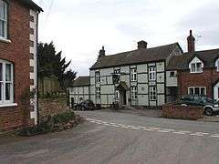
The village has several facilities including Stottesdon Church of England Primary School,[5][6] "The Fighting Cocks" public house,[7][8] the "Shop at the Cock" village shop,[9] The Old Vicarage Activity Centre,[10] a bus service, phone box, recycling facilities and a post box.
References
- ↑ "Civil Parish population 2011". Retrieved 22 November 2015.
- ↑ Stottesdon Parish Portal
- ↑ "Secret Shropshire - St Mary's Church Stottesdon". Archived from the original on 2011-07-21. Retrieved 2008-12-25.
- ↑ CWGC Cemetery Report. Breakdown obtained from casualty record.
- ↑ Friends of Stottesdon Primary School Website
- ↑ Stottesdon Primary School Website Archived 2009-06-14 at the Wayback Machine.
- ↑ Details of the Fighting Cocks Archived 2007-12-08 at the Wayback Machine.
- ↑ "UK Pub Finder". Archived from the original on 2009-07-29. Retrieved 2008-12-25.
- ↑ Shop at the Cock Information
- ↑ Old Vicarage Activity Centre Website
External links
| Wikimedia Commons has media related to Stottesdon. |
- The Stottesdon Parish Portal
- Stottesdon C of E Primary School
- Chorley Family Playgroup at Stottesdon School
- Friends of Stottesdon Primary School