State College–DuBois, PA Combined Statistical Area
| State College–DuBois, PA CSA | |
|---|---|
| Combined Statistical Area | |
    | |
|
| |
| Country |
|
| State |
|
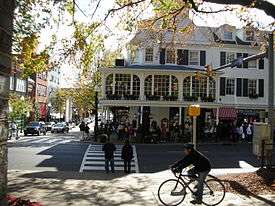
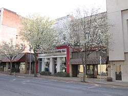
| Principal cities | State College, DuBois, Bellefonte, Boalsburg |
| Elevation | 351 m (1,154 ft) |
| Population (2010) | |
| • Metro | CSA: 236,577 (124th)[1] |
| Time zone | UTC-5 (EST) |
| • Summer (DST) | UTC-4 (EST) |

The State College–DuBois, PA Combined Statistical Area (CSA) is made up of two counties in central Pennsylvania. The United States Office of Management and Budget[2] has recognized the State College and DuBois areas along with the counties of Centre and Clearfield to make a Combined Statistical Area, located in central Pennsylvania. As of the 2010 United States Census[3] the CSA had a population total of 235,632. The Combined Statistical Area ranked 9th in the state of Pennsylvania and 123rd in the United States.
State College, PA Metropolitan Statistical Area
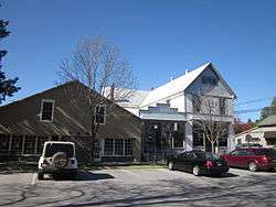
- Centre County population 155,171
Cities/major boroughs
- Bellefonte
- Boalsburg
- Ferguson Township – home rule municipality
- Park Forest Village
- Philipsburg
- State College – home rule municipality
DuBois, PA Micropolitan Statistical Area
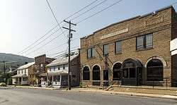
- Clearfield County population 81,642
Cities/major boroughs
See also
References
- ↑ "Population statistics". Archived from the original on 2015-11-17.
- ↑ "Office of Management and Budget | The White House". whitehouse.gov. Retrieved 2014-05-25.
- ↑ "2010 Census". census.gov. Retrieved 2014-05-25.
This article is issued from
Wikipedia.
The text is licensed under Creative Commons - Attribution - Sharealike.
Additional terms may apply for the media files.