Starków, Lower Silesian Voivodeship
| Starków | |
|---|---|
| Village | |
 | |
 Starków | |
| Coordinates: 50°22′17″N 16°34′34″E / 50.37139°N 16.57611°ECoordinates: 50°22′17″N 16°34′34″E / 50.37139°N 16.57611°E | |
| Country |
|
| Voivodeship | Lower Silesian |
| County | Kłodzko |
| Gmina | Kłodzko |
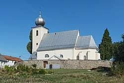
Starków [ˈstarkuf] is a village in the administrative district of Gmina Kłodzko, within Kłodzko County, Lower Silesian Voivodeship, in south-western Poland.[1] Prior to 1945 it was in Germany.
It lies approximately 10 kilometres (6 mi) south-west of Kłodzko, and 90 kilometres (56 mi) south of the regional capital Wrocław.
References
This article is issued from
Wikipedia.
The text is licensed under Creative Commons - Attribution - Sharealike.
Additional terms may apply for the media files.