Speer (mountain)
| Speer | |
|---|---|
_Stampf_2010-11-08_16-27-38.jpg) View from Lake Zurich | |
| Highest point | |
| Elevation | 1,951 m (6,401 ft) |
| Prominence | 535 m (1,755 ft) [1] |
| Isolation | 7.8 kilometres (4.8 mi) |
| Parent peak | Gamsberg, Chüemettler |
| Coordinates | 47°11′08″N 9°07′22″E / 47.18556°N 9.12278°ECoordinates: 47°11′08″N 9°07′22″E / 47.18556°N 9.12278°E |
| Geography | |
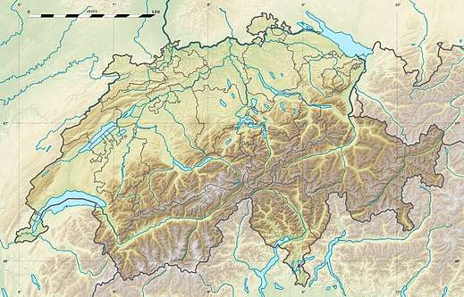
 Speer Location in Switzerland | |
| Location | St. Gallen, Switzerland |
| Parent range | Appenzell Alps |
| Climbing | |
| Easiest route | Trail |
The Speer (1,951 m) is a mountain in the Appenzell Alps, overlooking the region between Lake Zurich and Lake Walenstadt in the canton of St. Gallen.
Being easily accessible, the summit is popular for its panoramic view of the Alps from central to eastern Switzerland. The ascent, however, involves a few hours of hiking.
References
External links

- Speer on Summitpost
- Speer on Hikr
This article is issued from
Wikipedia.
The text is licensed under Creative Commons - Attribution - Sharealike.
Additional terms may apply for the media files.