Spanish Cay Airport
| Spanish Cay Airport | |||||||||||
|---|---|---|---|---|---|---|---|---|---|---|---|
| Summary | |||||||||||
| Airport type | Public | ||||||||||
| Owner | Spanish Cay Government Household | ||||||||||
| Operator | Spanish Cay island Services | ||||||||||
| Serves | Spanish Cay, Abaco Islands, Bahamas | ||||||||||
| Location | Spanish Cay | ||||||||||
| Elevation AMSL | 10 ft / 3 m | ||||||||||
| Coordinates | 26°57′01″N 077°32′38″W / 26.95028°N 77.54389°WCoordinates: 26°57′01″N 077°32′38″W / 26.95028°N 77.54389°W | ||||||||||
| Website | www.spanishcay.com/airstrip.htm | ||||||||||
| Map | |||||||||||
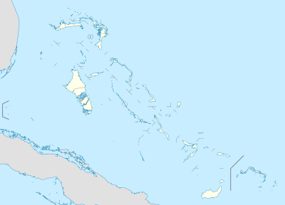 MYAX Location in The Bahamas | |||||||||||
| Runways | |||||||||||
| |||||||||||
Spanish Cay Airport (ICAO: MYAX) is an airstrip serving Spanish Cay, one of the Abaco Islands in The Bahamas.[1][3]
Facilities
The airport resides at an elevation of 10 ft (3.0 m) above mean sea level. It has one runway designated 14/32 with an asphalt surface measuring 1,342 m × 21 m (4,403 ft × 69 ft).[1]
References
- 1 2 3 Airport information for MYAX at World Aero Data. Data current as of October 2006.Source: DAFIF.
- ↑ Airport information for MYAX at Great Circle Mapper. Source: DAFIF (effective October 2006).
- ↑ Air Strip at Spanish Cay
This article is issued from
Wikipedia.
The text is licensed under Creative Commons - Attribution - Sharealike.
Additional terms may apply for the media files.