Southwest Island, Nova Scotia
Coordinates: 44°30′25″N 63°59′41″W / 44.506866°N 63.994825°W
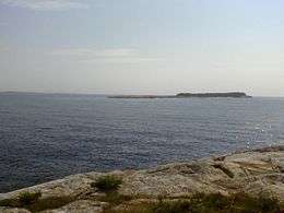 View from Aspotogan Peninsula | |
 Southwest Island | |
| Geography | |
|---|---|
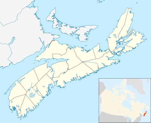
| Location | St. Margarets Bay |
| Coordinates | 44°30′25″N 63°59′41″W / 44.506866°N 63.994825°W |
| Total islands | Three |
| Highest elevation | 27 m (89 ft)above mean higher high water |
| Administration | |
|
Canada | |
| Province | Nova Scotia |
| County | Lunenburg County |
| Demographics | |
| Population | 0 |
| Pop. density | 0 /km2 (0 /sq mi) |
Southwest Island is an uninhabited [1], 30-acre (120,000 m2) island in the southwest corner of St. Margarets Bay, Nova Scotia.[2]
References
- ↑ St. Margarets Bay Islands Map, St. Margaret's Bay Stewardship Association, Tantallon, Nova Scotia
- ↑ #4386 St. Margarets Bay (print) (Nautical chart). 1:40 000. Canadian Hydrographic Service. 2004.
This article is issued from
Wikipedia.
The text is licensed under Creative Commons - Attribution - Sharealike.
Additional terms may apply for the media files.