Songtao Reservoir
| Songtao Reservoir Dam | |
|---|---|
.jpg) Map showing the Songtao Reservoir (Greenfield Reservoir) | |
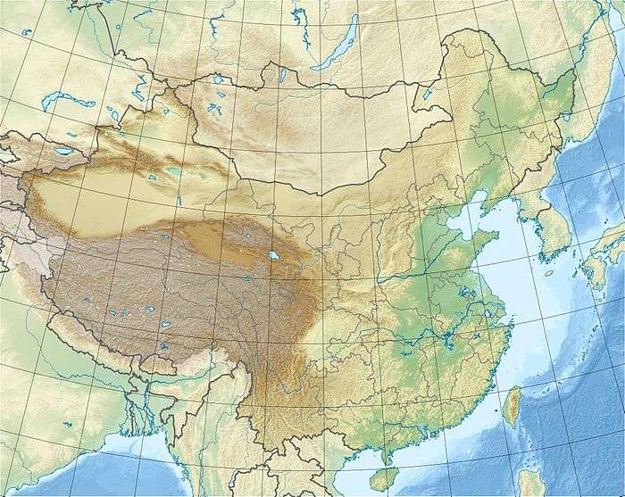
 Location within China | |
| Country | China |
| Location | Hainan |
| Coordinates | 19°19′57″N 109°40′44″E / 19.33250°N 109.67889°ECoordinates: 19°19′57″N 109°40′44″E / 19.33250°N 109.67889°E |
| Construction began | 1958[1] |
| Opening date | 1969[2] |
| Dam and spillways | |
| Impounds | Nandu River |
| Height | 80.7 m (265 ft) |
| Length | 760 m (2,490 ft) |
| Reservoir | |
| Creates |
Songtao Reservoir Songtao Reservoir Irrigation Area (Code BHF60000181) |
| Total capacity | 3,070,000,000 m3 (2,490,000 acre⋅ft) [3] |
| Surface area | 58.66 km2 (22.65 sq mi) |
The Songtao Reservoir (Chinese: 松涛水库; pinyin: Sōngtāo Shuĭkù), also known as the Songtao Reservoir Irrigation Area, is the largest body of water in Hainan, and the second largest reservoir[1] in China.[4]
Located upstream of the Nandu River approximately 20 kilometres (12 mi) southeast of Danzhou City, the reservoir covers 0.17 percent of the island and has a total capacity of 3,340,000,000 cubic metres (1.18×10¹¹ cu ft). The reservoir contains more than 100 islands, and is used for agriculture, fisheries, and tourism.[5]
References
- 1 2 Songtao Reservoir « China Water Nexus Archived 2012-04-26 at the Wayback Machine.
- ↑ 松涛水库:宝岛一颗璀璨明珠-【维普网】-仓储式在线作品出版平台-www.cqvip.com
- ↑ "Songtao Reservoir" (in Chinese). China Water. Archived from the original on 19 January 2008. Retrieved 8 January 2012.
- ↑ 中国水利国际合作与科技网 -> 著名水利工程 Archived 2011-09-03 at the Wayback Machine.
- ↑ 海南西线松涛水库_海南海南西线松涛水库介绍_松涛水库门票价格 - 悠哉旅游网
External links
This article is issued from
Wikipedia.
The text is licensed under Creative Commons - Attribution - Sharealike.
Additional terms may apply for the media files.