Songrétenga
| Songrétenga | |
|---|---|
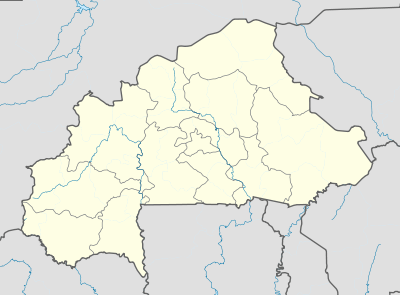 Songrétenga Location within Burkina Faso, French West Africa | |
| Coordinates: 12°13′21.5″N 0°16′49.6″W / 12.222639°N 0.280444°W | |
| Country |
|
| Province | Kouritenga |
| Department | Andemtenga |
| Elevation | 305 m (1,001 ft) |
| Population (2006) | |
| • Total | 1,832 |
| Time zone | UTC+0 (GMT) |
Songrétenga, also spelt Songretenga[1] or Song Grétenga,[2] is a commune in the Andemtenga Department of Kouritenga Province in the Centre-Est region of Burkina Faso. It had a population of 1,832 in 2006.[3][4]
Demographics
| Year | Population |
|---|---|
| 1985 | 2,520[1] |
| 1996 | 1,890[5] |
| 2006 | 1,832[6][4] |
Neighbourhoods
| Neighbourhood | Population (2006)[7] |
|---|---|
| Kimbila | 192 |
| Natenga | 282 |
| Nayoydhin | 297 |
| Silwamsé | 276 |
| Wapassin | 197 |
| Womkanré | 182 |
| Zorgho | 406 |
References
- 1 2 "RECENSEMENT GENERAL DE LA POPULATION - 1985 • Structure par âge et sexe des villages du Burkina Faso DEUXIEME EDITION" (PDF). MINISTERE DU PLAN ET DE LA COOPERATION; INSTITUT NATIONAL DE LA STATISTIQUE ET DE LA DEMOGRAPHIE; DIRECTION DE LA DEMOGRAPHIE. 1985.
- ↑ "Google Maps". Google Maps. Retrieved 2017-03-11.
- ↑ "Résultats de l'Inventaire National des Ouvrages d'Approvisionnement ..." Retrieved 11 March 2017.
- 1 2 "MEMORANDUM SUR LA DETERMINATION DU NOMBRE DE SIEGES DES CONSEILLERS MUNICIPAUX PAR VILLAGES ET PAR SECTEURS DANS LE CADRE DES ELECTIONS LOCALES DU 02 DECEMBRE 2012" (PDF). Ouagadougou. 11 September 2012. Archived from the original (PDF) on 16 September 2012. Retrieved 10 March 2017.
- ↑ "Archive copy". Archived from the original on 2013-12-24. Retrieved 2017-03-10.
- ↑ "Résultats de l'Inventaire National des Ouvrages d'Approvisionnement ..." Retrieved 11 March 2017.
- ↑ "Résultats de l'Inventaire National des Ouvrages d'Approvisionnement ..." Retrieved 11 March 2017.
This article is issued from
Wikipedia.
The text is licensed under Creative Commons - Attribution - Sharealike.
Additional terms may apply for the media files.