Solin (river)
| Solin | |
|---|---|
 | |
| Country | France |
| Physical characteristics | |
| Main source |
Le Moulinet-sur-Solin 47°48′42″N 02°37′07″E / 47.81167°N 2.61861°E |
| River mouth |
Loing 48°01′33″N 02°43′23″E / 48.02583°N 2.72306°ECoordinates: 48°01′33″N 02°43′23″E / 48.02583°N 2.72306°E |
| Length | 31.3 km (19.4 mi) |
| Basin features | |
| Progression | Loing→ Seine→ English Channel |
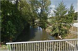
The Solin is a 31.3-kilometre (19.4 mi) long river in the Loiret département, north-central France. Its source is at Le Moulinet-sur-Solin, 2 kilometres (1.2 mi) south of the village. It flows generally north-northeast. It is a left tributary of the Loing, into which it flows at Châlette-sur-Loing.
Communes along its course
This list is ordered from source to mouth:
Notes
- This article is based on the equivalent article from the French Wikipedia, consulted on January 17th 2009.
References
This article is issued from
Wikipedia.
The text is licensed under Creative Commons - Attribution - Sharealike.
Additional terms may apply for the media files.