Slapy (Prague-West District)
| Slapy | |||
|---|---|---|---|
| Municipality and village | |||
.jpg) Slapy Dam and Slapy village | |||
| |||
 | |||
| Coordinates: 49°49′01″N 14°23′54″E / 49.8169°N 14.3983°ECoordinates: 49°49′01″N 14°23′54″E / 49.8169°N 14.3983°E | |||
| Country |
| ||
| Region | Central Bohemian Region | ||
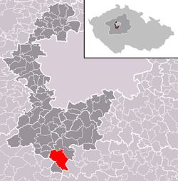
| District | Prague-West District | ||
| Area | |||
| • Total | 7.81 sq mi (20.23 km2) | ||
| Elevation | 1,175 ft (358 m) | ||
| Population (2011) | |||
| • Total | 765 | ||
| • Density | 98/sq mi (38/km2) | ||
| Time zone | UTC+1 (CET) | ||
| • Summer (DST) | UTC+2 (CEST) | ||


Slapy is a village and municipality in Prague-West District in the Central Bohemian Region of the Czech Republic. It is located next to Slapy Dam, which is the 6th largest dam in the Czech Republic by area.
References
- This article was initially translated from the Czech Wikipedia.
| Wikimedia Commons has media related to Slapy (Prague-West District). |
This article is issued from
Wikipedia.
The text is licensed under Creative Commons - Attribution - Sharealike.
Additional terms may apply for the media files.