Slaggyford
| Slaggyford | |
|---|---|
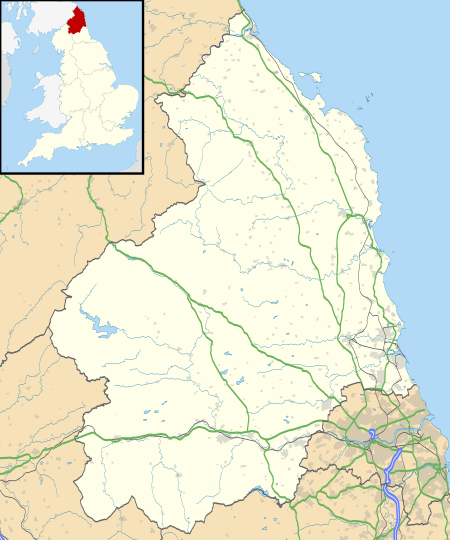 Slaggyford Slaggyford shown within Northumberland | |
| OS grid reference | NY675525 |
| Shire county | |
| Region | |
| Country | England |
| Sovereign state | United Kingdom |
| Post town | CARLISLE |
| Postcode district | CA8 |
| Dialling code | 01434 |
| Police | Northumbria |
| Fire | Northumberland |
| Ambulance | North East |
| EU Parliament | North East England |
| UK Parliament | |
Slaggyford is a village in Northumberland, England about 5 miles (8 km) north of Alston, Cumbria.
In the past, Slaggyford had a higher population than Alston, with its own market square. However, as lead mining increased around Alston, many residents moved to become miners and the population of Slaggyford declined.
It is set in South Tyne valley (often called the Tyne Gap). Hadrian's Wall lies to the north of the Tyne Gap. The South Tyne Valley falls within the North Pennines Area of Outstanding Natural Beauty (AONB) - the second largest of the 40 AONBs in England and Wales. Slaggyford takes its name from the Old English for ‘muddy, dirty ford’, which may originate from quickly moving river water stirring up the river bed at the bottom of a short steep hill, as the river drops from 1,000 feet (305 m) to 700 feet (213 m) from Alston to Slaggyford.
The Pennine Way runs through the village on its way northwards from Alston to Greenhead.
The Maiden Way Roman road passes through Slaggyford, with the A689 road following the line of the Roman road for a few hundred yards on the way south out of the village.[1].
Governance
Slaggyford is in the parliamentary constituency of Hexham.
Transport
Slaggyford was served by a railway station on the Alston Line from Haltwhistle to Alston. The line opened in 1852 and closed in 1976.
Since 1983, a 2-foot (0.61 m) narrow gauge railway has been opened on part of the original track bed. It is called the South Tynedale Railway and currently runs for 5 miles (8 km) from Alston to the old station at Slaggyford and includes crossing three viaducts up the South Tyne Valley and over the River South Tyne.
Construction of the section of track from Lintley to Slaggyford was completed in July 2017, and as of June 2018 regular passenger trains had started to run from the station.[2].
See also
- Alston Line, the railway from Haltwhistle to Alston
- Aules Hill Meadows, a Site of Special Scientific Interest found 0.5 miles (0.80 km) west of the village.
References
- ↑ Ordnance Survey Explorer OL43 Map, Hadrian's Wall
- ↑ "Railway returns to Northumberland village more than 40 years after it closed". Chronicle Live. Retrieved 29 August 2017.
External links
| Wikimedia Commons has media related to Slaggyford. |