Silistra Airfield
| Polkovnik Lambrinovo Airport | |||||||||||
|---|---|---|---|---|---|---|---|---|---|---|---|
| Summary | |||||||||||
| Airport type | Military | ||||||||||
| Serves | Silistra | ||||||||||
| Location |
| ||||||||||
| Elevation AMSL | 351 ft / 107 m | ||||||||||
| Coordinates | 44°3′17.9″N 27°10′47.7″E / 44.054972°N 27.179917°ECoordinates: 44°3′17.9″N 27°10′47.7″E / 44.054972°N 27.179917°E | ||||||||||
| Map | |||||||||||
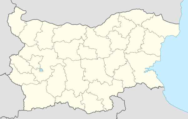 LBSS Location of Polkovnik Lambrinovo Airport in Bulgaria | |||||||||||
| Runways | |||||||||||
| |||||||||||
Polkovnik Lambrinovo Airport (IATA: SLS, ICAO: LBSS) was an Air Base located 5 nm southwest of Silistra, Silistra, Bulgaria. It closed down in December 1999.
See also
References
- ↑ Airport record for Polkovnik Lambrinovo Airport at Landings.com. Retrieved 2013-08-22
- ↑ Google (2013-08-22). "location of Polkovnik Lambrinovo Airport" (Map). Google Maps. Google. Retrieved 2013-08-22.
External links
- Airport record for Polkovnik Lambrinovo Airport at Landings.com
This article is issued from
Wikipedia.
The text is licensed under Creative Commons - Attribution - Sharealike.
Additional terms may apply for the media files.