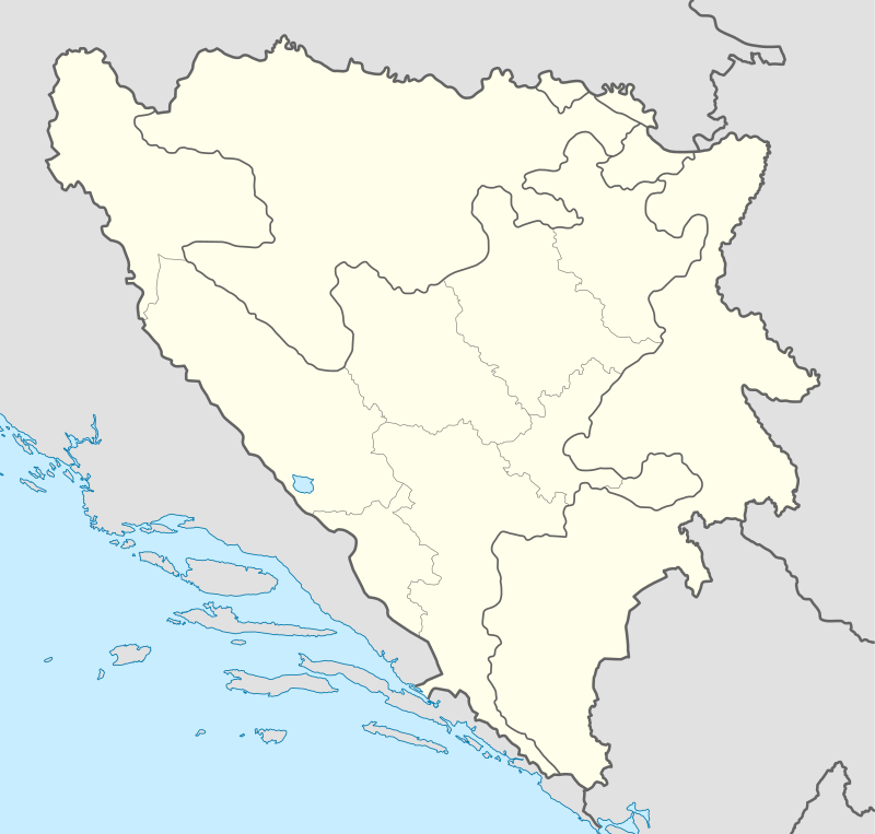
Sijerča
| Sijerča | |
|---|---|
| Village | |
 Sijerča | |
| Coordinates: 43°34′N 18°33′E / 43.567°N 18.550°E | |
| Country | Bosnia and Herzegovina |
| Entity | Republika Srpska |
| Municipality | Kalinovik |
| Time zone | UTC+1 (CET) |
| • Summer (DST) | UTC+2 (CEST) |
Sijerča (Serbian Cyrillic: Сијерча) is a village in the municipality of Kalinovik, Republika Srpska, Bosnia and Herzegovina.[1]
Geography
Sijerča is a village located about 52 kilometers south of Sarajevo and 18 kilometers east of Kalinovik, the Kalinovik municipality's capital. It is situated on a karst plateau, overlooking the Bistrica river canyon, Sjeračke Stijene, named after the village.
Demographics
In 1961, the census recorded 175 inhabitants. In the 1960s and 1970s, due to urbanization, the population of the village diminished and Sijerča practically has no year-round inhabitants today.
For at least a century, four families lived in Sijerča: Elez, Purković, Tepavčević and Vučetić.
References
- ↑ Official results from the book: Ethnic composition of Bosnia-Herzegovina population, by municipalities and settlements, 1991. census, Zavod za statistiku Bosne i Hercegovine - Bilten no.234, Sarajevo 1991.
This article is issued from
Wikipedia.
The text is licensed under Creative Commons - Attribution - Sharealike.
Additional terms may apply for the media files.