Signalberg (Damme)
| Signalberg | |
|---|---|
 Signalberg | |
| Highest point | |
| Elevation | 146 m above sea level (NHN) (479 ft) |
| Coordinates | 52°33′10″N 8°12′40″E / 52.552663°N 8.21125°ECoordinates: 52°33′10″N 8°12′40″E / 52.552663°N 8.21125°E |
| Geography | |
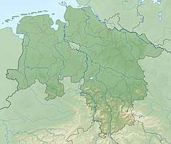
| Location |
Vechta district, Lower Saxony, |
| Parent range | Damme Hills |
The Signalberg is, at 146 m above sea level (NN),[1] the highest elevation in the Damme Hills and Oldenburg Münsterland. It rises in the district of Vechta in the north German state of Lower Saxony. The name means "beacon hill".
References
This article is issued from
Wikipedia.
The text is licensed under Creative Commons - Attribution - Sharealike.
Additional terms may apply for the media files.